Gowrie Mountain Area, Gowrie Mountain Postcode(4350) & Map in Gowrie Mountain, Darling Downs - Maranoa, QLD
Gowrie Mountain Area, Gowrie Mountain Postcode(4350) & Map in Gowrie Mountain, Darling Downs - Maranoa, QLD, AU, Postcode: 4350
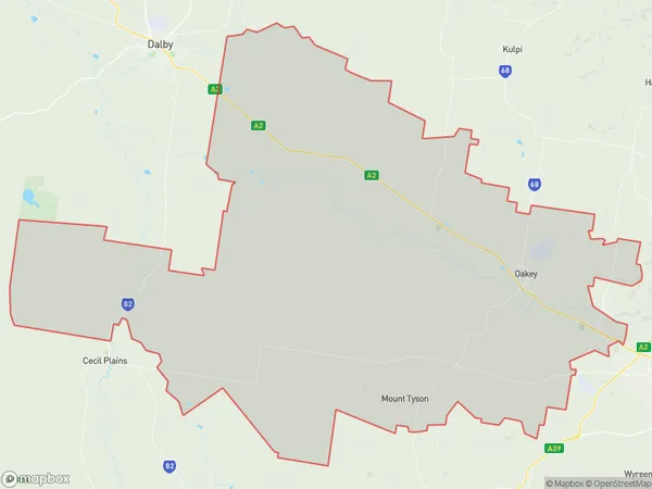
Gowrie Mountain, Jondaryan, Darling Downs - East, Darling Downs - Maranoa, Queensland, Australia, 4350
Gowrie Mountain Postcode
Area Name
Gowrie MountainGowrie Mountain Suburb Area Map (Polygon)
Gowrie Mountain Introduction
Gowrie Mountain is a mountain in the Maranoa region of Queensland, Australia. It is part of the Great Dividing Range and has an elevation of 1,118 meters. The mountain is known for its scenic views and is a popular destination for hiking, camping, and wildlife watching.State Name
City or Big Region
District or Regional Area
Suburb Name
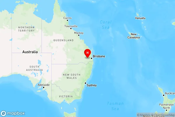
Gowrie Mountain Region Map
Country
Main Region in AU
R3Coordinates
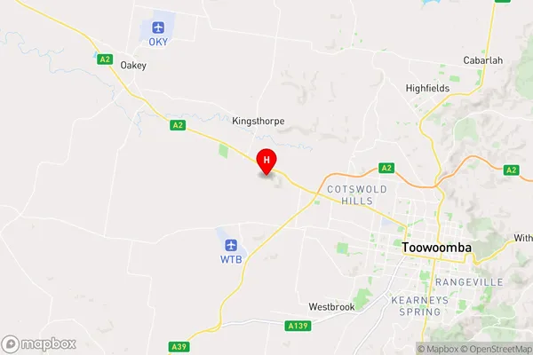
-27.5130773,151.8219081 (latitude/longitude)Gowrie Mountain Area Map (Street)
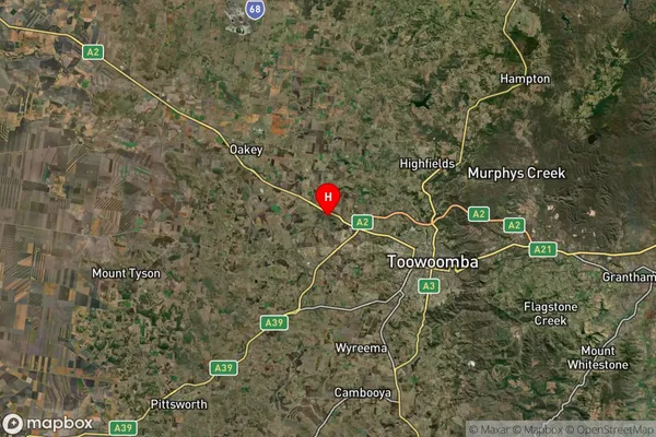
Longitude
151.852689Latitude
-27.576308Gowrie Mountain Suburb Map (Satellite)
Distances
The distance from Gowrie Mountain, Darling Downs - Maranoa, QLD to AU Greater Capital CitiesSA1 Code 2011
30702118015SA1 Code 2016
30702118015SA2 Code
307021180SA3 Code
30702SA4 Code
307RA 2011
2RA 2016
2MMM 2015
2MMM 2019
2Charge Zone
Q2LGA Region
ToowoombaLGA Code
36910Electorate
Groom