Jondaryan Suburbs & Region, Jondaryan Map & Postcodes
Jondaryan Suburbs & Region, Jondaryan Map & Postcodes in Jondaryan, Burnett, Wide Bay, QLD, AU
Jondaryan Region
Region Name
Jondaryan (QLD, AU)Jondaryan Area
2130 square kilometers (2,130 ㎢)Postal Codes
4350, 4352, 4356, 4401, from 4403 to 4405, and 4407 (In total, there are 8 postcodes in Jondaryan.)Jondaryan Introduction
Jondaryan is a locality in the Wide Bay Burnett Region, Queensland, Australia. It is one of the major gateways to the Surat Basin from the Burnett Highway. The town is named after the Jondaryan Range, which is part of the Great Dividing Range. The Jondaryan Woolshed is a historic site that is a popular tourist attraction. The town has a primary school, a post office, a general store, and a community hall. The surrounding area is known for its agriculture, particularly cotton and grain farming. The town is located 221 kilometers north of Brisbane and 13 kilometers south of Bundaberg.Australia State
City or Big Region
Greater Capital City
Rest of Qld (3RQLD)District or Regional Area
Suburb Name
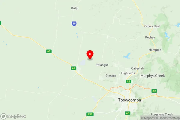
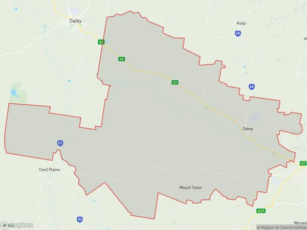
Jondaryan Region Map

Jondaryan Postcodes / Zip Codes
Jondaryan Suburbs
Jondaryan full address
Jondaryan, Burnett, Wide Bay, Queensland, QLD, Australia, SaCode: 307021180Country
Jondaryan, Burnett, Wide Bay, Queensland, QLD, Australia, SaCode: 307021180
Jondaryan Suburbs & Region, Jondaryan Map & Postcodes has 0 areas or regions above, and there are 32 Jondaryan suburbs below. The sa2code for the Jondaryan region is 307021180. Its latitude and longitude coordinates are -27.3986,151.772. Jondaryan area belongs to Australia's greater capital city Rest of Qld.
Jondaryan Suburbs & Localities
1. Bongeen
2. Yalangur
3. Evanslea
4. Gowrie Mountain
5. Linthorpe
6. Mount Tyson
7. Gowrie Little Plain
8. Motley
9. Norwin
10. Purrawunda
11. Jondaryan
12. Mount Moriah
13. Blaxland
14. Nandi
15. Aubigny
16. Mount Irving
17. Malu
18. Grassdale
19. Springvale
20. Biddeston
21. Oakey
22. Yargullen
23. West Prairie
24. Bowenville
25. Beelbee
26. Tipton
27. Nangwee
28. Devon Park
29. Kelvinhaugh
30. Formartin
31. Irvingdale
32. Wainui
