Wide Bay Suburbs & Region, Wide Bay Map & Postcodes
Wide Bay Suburbs & Region, Wide Bay Map & Postcodes in Wide Bay, QLD, AU
Wide Bay Region
Region Name
Wide Bay (QLD, AU)Wide Bay Area
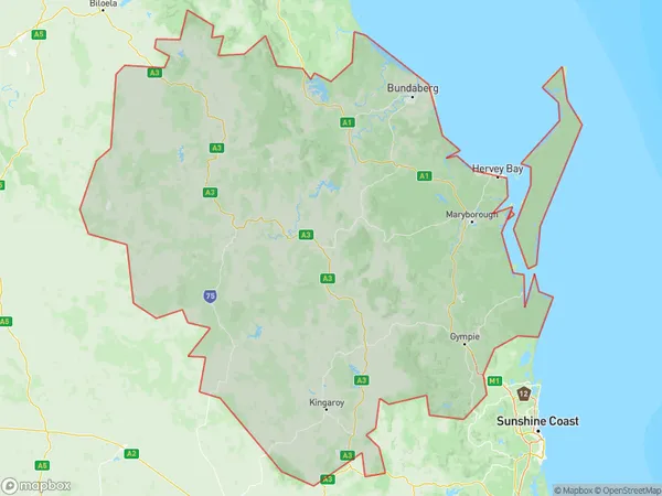
48503 square kilometers (48,503 ㎢)Postal Codes
4306, 4314, 4405, 4563, 4570, 4574, 4580, 4581, 4600, 4601, 4605, 4606, 4608, from 4610 to 4615, 4620, 4621, from 4625 to 4627, 4630, 4650, 4655, 4659, 4660, 4662, 4670, 4671, 4673, 4674, and 4676 (In total, there are 35 postcodes in Wide Bay.)Wide Bay Introduction
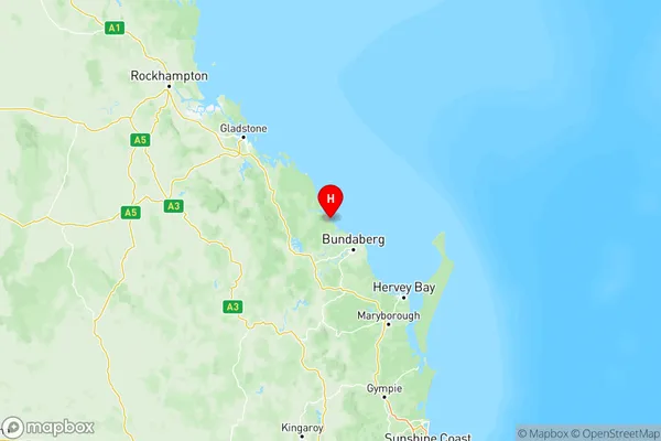
Wide Bay is a locality in the Bundaberg Region, Queensland, Australia. It is one of the major gateways to the Wide Bay Burnett region. The town is located 267 kilometers north of Brisbane and 123 kilometers south of Bundaberg. Wide Bay is a major sugar-producing area and is home to several sugar mills. The town has a population of around 10,000 people and is known for its beautiful beaches, lush forests, and vibrant cultural heritage. The Wide Bay region is also home to a number of national parks, including the K'Gari (Fraser Island) and Byfield National Parks.Australia State
City or Big Region
Wide Bay Region Map

Wide Bay Postcodes / Zip Codes
Wide Bay Suburbs
Bundaberg
Gympie Cooloola
Hervey Bay
Maryborough
Wide Bay full address
Wide Bay, Queensland, QLD, Australia, SaCode: 319Country
Wide Bay, Queensland, QLD, Australia, SaCode: 319
Wide Bay Suburbs & Region, Wide Bay Map & Postcodes has 5 areas or regions above, and there are 668 Wide Bay suburbs below. The sa4code for the Wide Bay region is 319. Its latitude and longitude coordinates are -24.5999,152.123.
Wide Bay Suburbs & Localities
1. Braemar Forest
2. Cherry Creek
3. Gilla
4. Upper Yarraman
5. Euleilah
6. Gindoran
7. Sandy Creek
8. Happy Valley
9. Kidaman Creek
10. Sunrise Hills
11. Ashfield
12. Littabella
13. Eureka
14. Booyal
15. Lakeside
16. Ban Ban Springs
17. Boynewood
18. Mount Steadman
19. Kingaroy Dc
20. Barlil
21. Ficks Crossing
22. Cushnie
23. Abbeywood
24. Kawl Kawl
25. Mondure
26. Manyung
27. Eidsvold
28. Coominglah
29. Runnymede
30. Cooloola Cove
31. Inskip Point
32. Cinnabar
33. Beelbi Creek
34. Torbanlea
35. North Aramara
