Gympie Cooloola Suburbs & Region, Gympie Cooloola Map & Postcodes
Gympie Cooloola Suburbs & Region, Gympie Cooloola Map & Postcodes in Gympie Cooloola, Wide Bay, QLD, AU
Gympie Cooloola Region
Region Name
Gympie Cooloola (QLD, AU)Gympie Cooloola Area
6975 square kilometers (6,975 ㎢)Postal Codes
4563, 4574, 4580, 4600, 4601, 4605, and 4615 (In total, there are 7 postcodes in Gympie Cooloola.)Gympie Cooloola Introduction
The Gympie Cooloola region is located in Queensland, Australia, and is known for its stunning natural beauty, including the Great Sandy Desert, the Cooloola Coast, and the Mount Superbus National Park. The region is home to a diverse range of wildlife, including kangaroos, wallabies, and koalas, and is a popular destination for outdoor enthusiasts, including hikers, campers, and surfers. The region is also home to several historic towns, including Gympie and Cooloola, which offer a glimpse into the region's rich cultural heritage. The Gympie Cooloola region is a must-visit destination for anyone who loves the outdoors and wants to experience the natural beauty of Australia.Australia State
City or Big Region
District or Regional Area
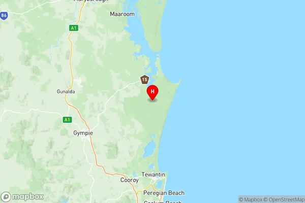
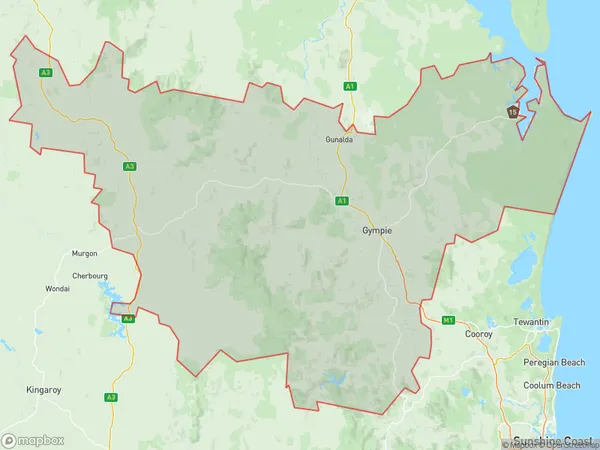
Gympie Cooloola Region Map

Gympie Cooloola Postcodes / Zip Codes
Gympie Cooloola Suburbs
Maroochy Hinterland
Gympie Cooloola full address
Gympie Cooloola, Wide Bay, Queensland, QLD, Australia, SaCode: 31903Country
Gympie Cooloola, Wide Bay, Queensland, QLD, Australia, SaCode: 31903
Gympie Cooloola Suburbs & Region, Gympie Cooloola Map & Postcodes has 4 areas or regions above, and there are 72 Gympie Cooloola suburbs below. The sa3code for the Gympie Cooloola region is 31903. Its latitude and longitude coordinates are -26.0376,153.035.
Gympie Cooloola Suburbs & Localities
1. Sunrise Hills
2. Tinbeerwah
3. Black Mountain
4. Cooroy
5. Lake Macdonald
6. Kidaman Creek
7. Cooloola Cove
8. Cinnabar
9. Oakview
10. Manumbar
11. Wrattens Forest
12. Barlil
13. Moy Pocket
14. Tin Can Bay
15. Boonara
16. Booubyjan
17. Kinbombi
18. Byee
19. Murgon
20. Windera
21. Elgin Vale
22. Runnymede
23. Wyalla
24. Cherbourg
25. Crownthorpe
26. Merlwood
27. Moffatdale
28. Brooklands
29. South Nanango
30. Cooroy Mountain
31. Ridgewood
32. Coolabine
33. Obi Obi
34. Cooloola
35. Black Snake
36. Kilkivan
37. Goomeribong
38. Cobbs Hill
39. Moondooner
40. Oakdale
41. Redgate
42. Silverleaf
43. Sunny Nook
44. Warnung
45. Wooroonden
46. East Nanango
47. Johnstown
48. Kunioon
49. Maidenwell
50. Sandy Ridges
51. Carters Ridge
52. Gheerulla
53. Kenilworth
54. Mudlo
55. South East Nanango
56. Wattle Camp
57. Barambah
58. Goomeri
59. Manyung
60. Tansey
61. Cloyna
62. Glenrock
63. Kitoba
64. Manyung
65. Tablelands
66. Barker Creek Flat
67. Bullcamp
68. Glan Devon
69. Nanango
70. Pimpimbudgee
71. Tarong
72. Wengenville
