Cooloola Suburbs & Region, Cooloola Map & Postcodes
Cooloola Suburbs & Region, Cooloola Map & Postcodes in Cooloola, Gympie Cooloola, Wide Bay, QLD, AU
Cooloola Region
Region Name
Cooloola (QLD, AU)Cooloola Area
1142 square kilometers (1,142 ㎢)Cooloola Introduction
Cooloola is a locality in the Wide Bay Burnett Region, Queensland, Australia. It is one of the major gateways to the Great Barrier Reef and is located about 165 kilometers north of Brisbane. The town is named after the Cooloola River, which flows through it. The area is known for its beautiful beaches, national parks, and wildlife, including dolphins, whales, and turtles. The town has a population of around 2,000 people and is a popular tourist destination.Australia State
City or Big Region
Greater Capital City
Rest of Qld (3RQLD)District or Regional Area
Suburb Name
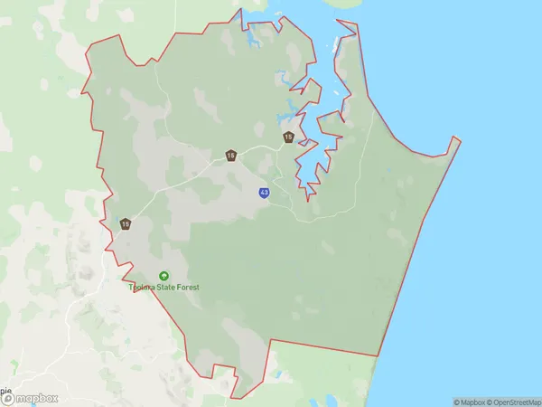
Cooloola Region Map

Cooloola Suburbs
Cooloola full address
Cooloola, Gympie Cooloola, Wide Bay, Queensland, QLD, Australia, SaCode: 319031511Country
Cooloola, Gympie Cooloola, Wide Bay, Queensland, QLD, Australia, SaCode: 319031511
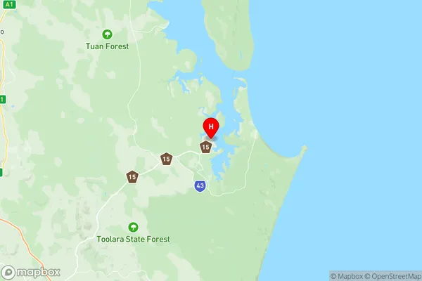
Cooloola Suburbs & Region, Cooloola Map & Postcodes has 0 areas or regions above, and there are 0 Cooloola suburbs below. The sa2code for the Cooloola region is 319031511. Its latitude and longitude coordinates are -25.9193,153.003. Cooloola area belongs to Australia's greater capital city Rest of Qld.
