Oakdale Area, Oakdale Postcode(4605) & Map in Oakdale, Wide Bay, QLD
Oakdale Area, Oakdale Postcode(4605) & Map in Oakdale, Wide Bay, QLD, AU, Postcode: 4605
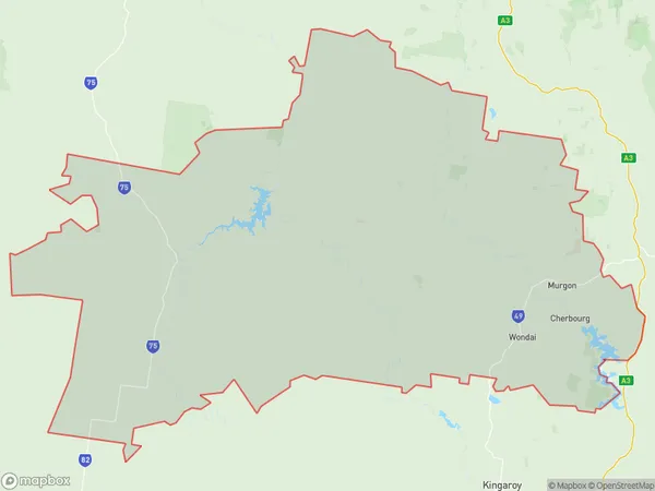
Oakdale, Kingaroy Region - North, Burnett, Wide Bay, Queensland, Australia, 4605
Oakdale Postcode
Area Name
OakdaleOakdale Suburb Area Map (Polygon)
Oakdale Introduction
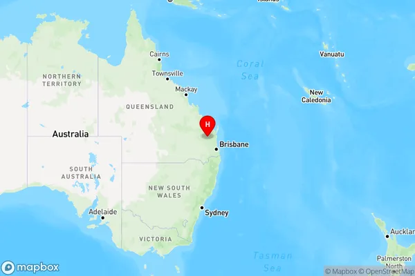
Oakdale is a town in the Wide Bay region of Queensland, Australia, located 26 km south-east of Maryborough. It is known for its sugarcane farming and has a population of around 1,500 people.State Name
City or Big Region
District or Regional Area
Suburb Name
Oakdale Region Map
Country
Main Region in AU
R3Coordinates
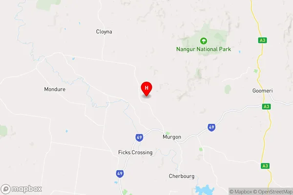
-26.1910878,151.9045578 (latitude/longitude)Oakdale Area Map (Street)
Longitude
151.870256Latitude
-26.112408Oakdale Elevation
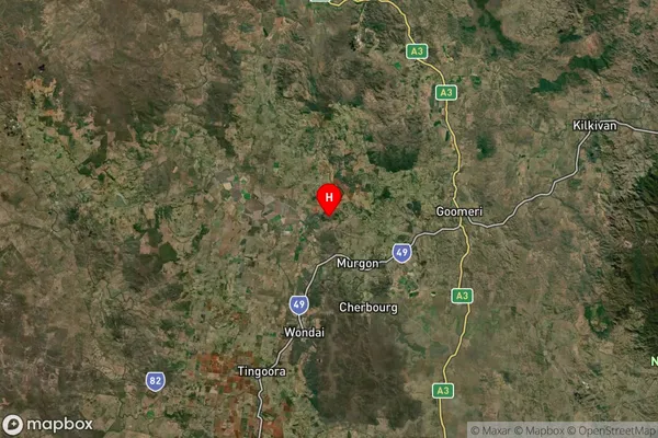
about 285.35 meters height above sea level (Altitude)Oakdale Suburb Map (Satellite)
Distances
The distance from Oakdale, Wide Bay, QLD to AU Greater Capital CitiesSA1 Code 2011
31902150608SA1 Code 2016
31902150608SA2 Code
319021506SA3 Code
31902SA4 Code
319RA 2011
3RA 2016
3MMM 2015
5MMM 2019
5Charge Zone
Q2LGA Region
CherbourgLGA Code
32330Electorate
Flynn