Biggenden Area, Biggenden Postcode(4621) & Map in Biggenden, Wide Bay, QLD
Biggenden Area, Biggenden Postcode(4621) & Map in Biggenden, Wide Bay, QLD, AU, Postcode: 4621
Biggenden, Gayndah - Mundubbera, Burnett, Wide Bay, Queensland, Australia, 4621
Biggenden Postcode
Area Name
BiggendenBiggenden Suburb Area Map (Polygon)
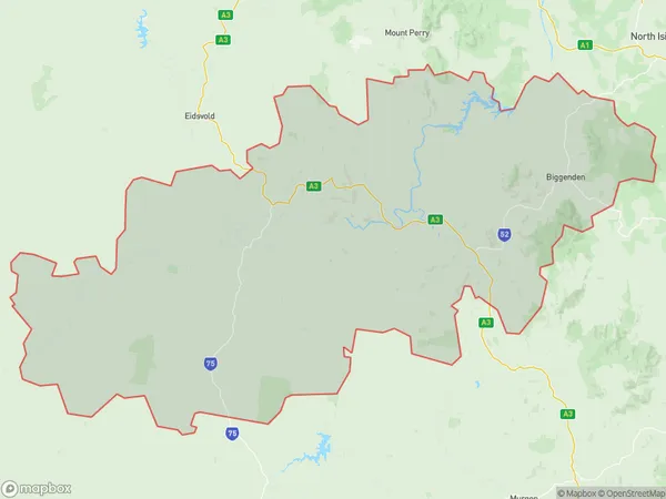
Biggenden Introduction
Biggenden is a town in the Wide Bay region of Queensland, Australia, known for its agricultural industry and the Biggenden Butter Factory. It is located 280 km north of Brisbane and has a population of around 3,000 people.State Name
City or Big Region
District or Regional Area
Suburb Name
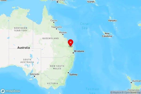
Biggenden Region Map
Country
Main Region in AU
R3Coordinates
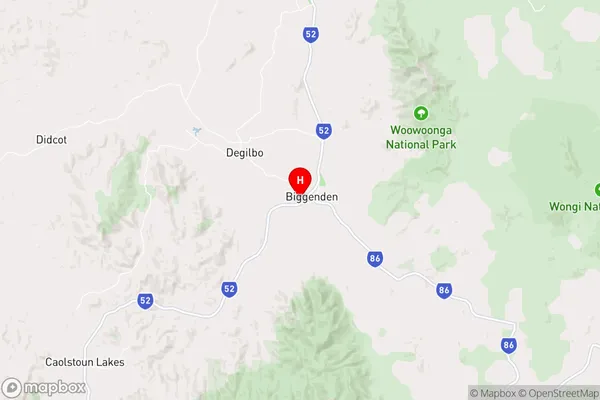
-25.5125968,152.0377569 (latitude/longitude)Biggenden Area Map (Street)
Longitude
152.042802Latitude
-25.535828Biggenden Elevation
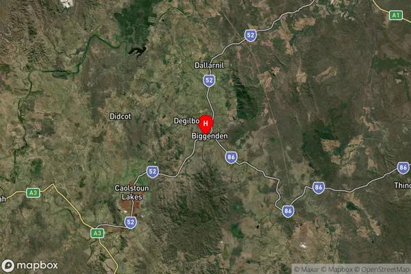
about 129.75 meters height above sea level (Altitude)Biggenden Suburb Map (Satellite)
Distances
The distance from Biggenden, Wide Bay, QLD to AU Greater Capital CitiesSA1 Code 2011
31902150312SA1 Code 2016
31902150312SA2 Code
319021503SA3 Code
31902SA4 Code
319RA 2011
3RA 2016
3MMM 2015
5MMM 2019
5Charge Zone
Q2LGA Region
BundabergLGA Code
31820Electorate
Flynn