Sandy Creek Area, Sandy Creek Postcode(4570) & Map in Sandy Creek, Moreton Bay - North, QLD
Sandy Creek Area, Sandy Creek Postcode(4570) & Map in Sandy Creek, Moreton Bay - North, QLD, AU, Postcode: 4570
Sandy Creek, Kilcoy, Caboolture Hinterland, Moreton Bay - North, Queensland, Australia, 4570
Sandy Creek Postcode
Area Name
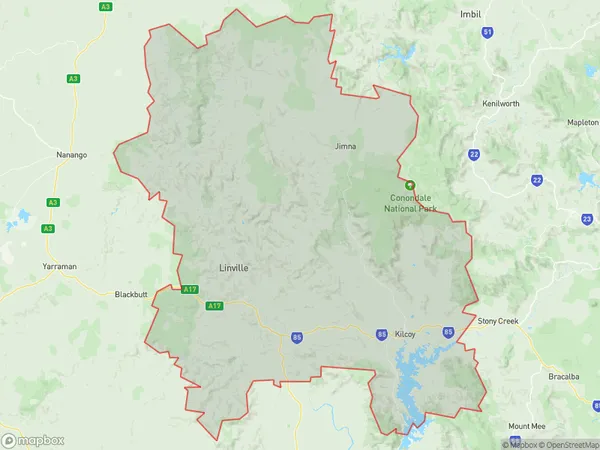
Sandy CreekSandy Creek Suburb Area Map (Polygon)
State Name
City or Big Region
District or Regional Area
Suburb Name
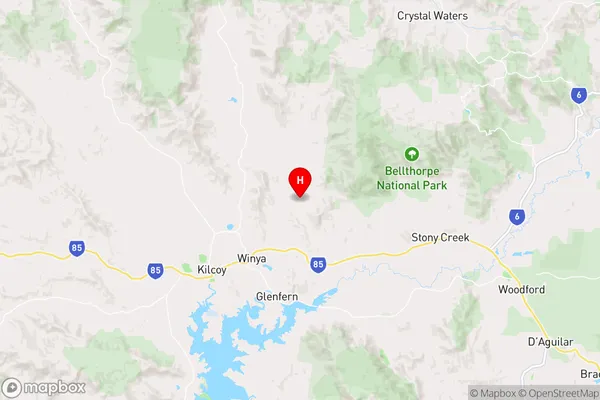
Sandy Creek Region Map
Country
Main Region in AU
R3Coordinates
-26.9,152.626 (latitude/longitude)Sandy Creek Area Map (Street)
Longitude
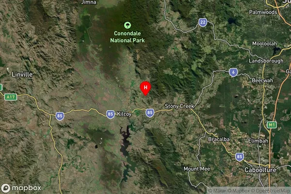
152.616943Latitude
-26.153831Sandy Creek Suburb Map (Satellite)
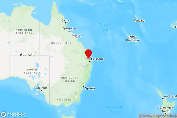
Distances
The distance from Sandy Creek, Moreton Bay - North, QLD to AU Greater Capital CitiesSA1 Code 2011
31303137006SA1 Code 2016
31303137006SA2 Code
313031370SA3 Code
31303SA4 Code
313RA 2011
2RA 2016
2MMM 2015
5MMM 2019
5Charge Zone
Q2LGA Region
GympieLGA Code
33620Electorate
Longman