Caboolture Hinterland Suburbs & Region, Caboolture Hinterland Map & Postcodes
Caboolture Hinterland Suburbs & Region, Caboolture Hinterland Map & Postcodes in Caboolture Hinterland, Moreton Bay North, QLD, AU
Caboolture Hinterland Region
Region Name
Caboolture Hinterland (QLD, AU)Caboolture Hinterland Area
3388 square kilometers (3,388 ㎢)Postal Codes
4313, 4512, 4514, and 4515 (In total, there are 4 postcodes in Caboolture Hinterland.)Caboolture Hinterland Introduction
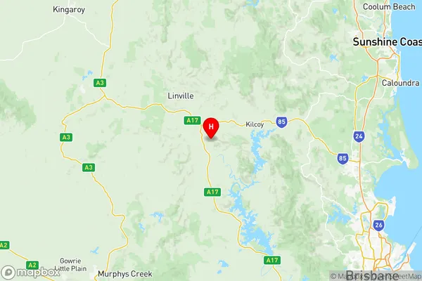
Caboolture Hinterland is a locality in the Moreton Bay Region, Queensland, Australia. It is located 28 kilometers north of Caboolture and 55 kilometers north of Brisbane. The area is known for its lush forests, beautiful parks, and tranquil waterways, making it a popular destination for outdoor enthusiasts and nature lovers. The Caboolture Hinterland has a rich cultural heritage, with several historic buildings and sites, including the Caboolture Historical Village and the Caboolture Showgrounds. The region is also home to a variety of industries, including agriculture, manufacturing, and tourism.Australia State
City or Big Region
District or Regional Area
Caboolture Hinterland Region Map

Caboolture Hinterland Postcodes / Zip Codes
Caboolture Hinterland Suburbs
Caboolture Hinterland full address
Caboolture Hinterland, Moreton Bay North, Queensland, QLD, Australia, SaCode: 31303Country
Caboolture Hinterland, Moreton Bay North, Queensland, QLD, Australia, SaCode: 31303
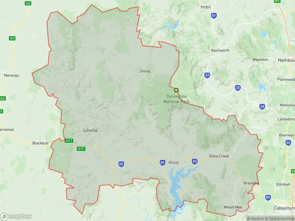
Caboolture Hinterland Suburbs & Region, Caboolture Hinterland Map & Postcodes has 2 areas or regions above, and there are 42 Caboolture Hinterland suburbs below. The sa3code for the Caboolture Hinterland region is 31303. Its latitude and longitude coordinates are -26.9989,152.395.
Caboolture Hinterland Suburbs & Localities
1. Biarra
2. Braemore
3. Cooeeimbardi
4. Cressbrook
5. Fulham
6. Gregors Creek
7. Ivory Creek
8. Lower Cressbrook
9. Mount Beppo
10. Ottaba
11. Scrub Creek
12. Toogoolawah
13. Yimbun
14. Bracalba
15. Wamuran
16. Wamuran Basin
17. Bellthorpe
18. Cedarton
19. Commissioners Flat
20. Daguilar
21. Daguilar
22. Delaneys Creek
23. Mount Archer
24. Mount Delaney
25. Neurum
26. Stanmore
27. Stony Creek
28. Villeneuve
29. Westvale
30. Woodford
31. Glenfern
32. Hazeldean
33. Jimna
34. Kilcoy
35. Kingaham
36. Monsildale
37. Mount Kilcoy
38. Royston
39. Sandy Creek
40. Sheep Station Creek
41. Winya
42. Woolmar
