Kilcoy Area, Kilcoy Postcode(4515) & Map in Kilcoy, Moreton Bay - North, QLD
Kilcoy Area, Kilcoy Postcode(4515) & Map in Kilcoy, Moreton Bay - North, QLD, AU, Postcode: 4515
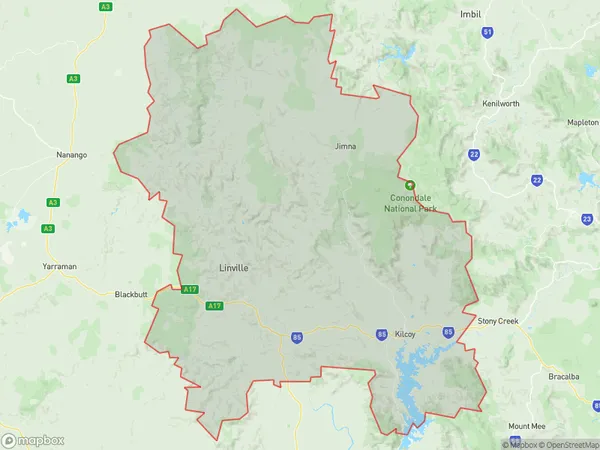
Kilcoy, Kilcoy, Caboolture Hinterland, Moreton Bay - North, Queensland, Australia, 4515
Kilcoy Postcode
Area Name
KilcoyKilcoy Suburb Area Map (Polygon)
Kilcoy Introduction
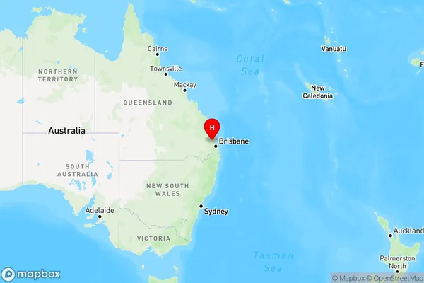
Kilcoy is a town in the Moreton Bay region of Queensland, Australia, located 40 km north of Brisbane. It is known for its agricultural industry, particularly cattle and dairy farming, and has a population of around 5,000 people. The town has a number of historical sites, including the Kilcoy Homestead and the Kilcoy Museum.State Name
City or Big Region
District or Regional Area
Suburb Name
Kilcoy Region Map
Country
Main Region in AU
R2Coordinates
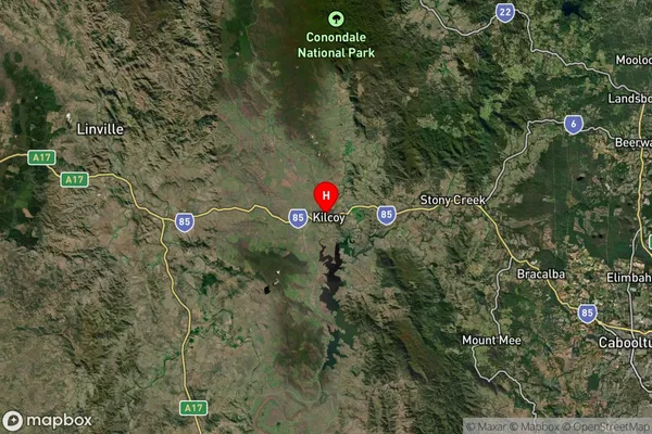
-26.9422979,152.5620065 (latitude/longitude)Kilcoy Area Map (Street)

Longitude
152.503797Latitude
-26.87578Kilcoy Elevation
about 154.62 meters height above sea level (Altitude)Kilcoy Suburb Map (Satellite)
Distances
The distance from Kilcoy, Moreton Bay - North, QLD to AU Greater Capital CitiesSA1 Code 2011
31303137012SA1 Code 2016
31303137012SA2 Code
313031370SA3 Code
31303SA4 Code
313RA 2011
2RA 2016
2MMM 2015
5MMM 2019
5Charge Zone
Q1LGA Region
SomersetLGA Code
36580Electorate
Blair