Wamuran Area, Wamuran Postcode(4512) & Map in Wamuran, Moreton Bay - North, QLD
Wamuran Area, Wamuran Postcode(4512) & Map in Wamuran, Moreton Bay - North, QLD, AU, Postcode: 4512
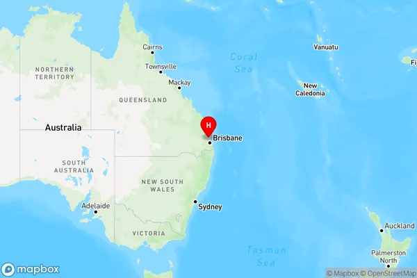
Wamuran, Wamuran, Caboolture, Moreton Bay - North, Queensland, Australia, 4512
Wamuran Postcode
Area Name
WamuranWamuran Suburb Area Map (Polygon)

Wamuran Introduction
Wamuran is a town in the Moreton Bay region of Queensland, Australia, located 45 kilometers north of Brisbane. It is known for its agricultural industry, particularly sugar cane farming, and has a population of around 10,000 people. The town has a number of parks and recreational facilities, including a golf course and a swimming pool.State Name
City or Big Region
District or Regional Area
Suburb Name
Wamuran Region Map
Country
Main Region in AU
R2Coordinates
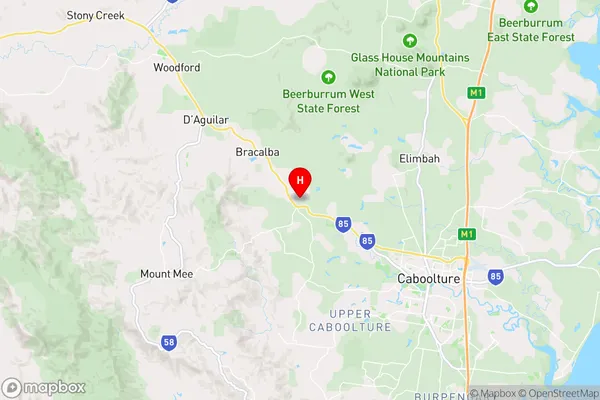
-27.035887,152.86274 (latitude/longitude)Wamuran Area Map (Street)
Longitude
152.858311Latitude
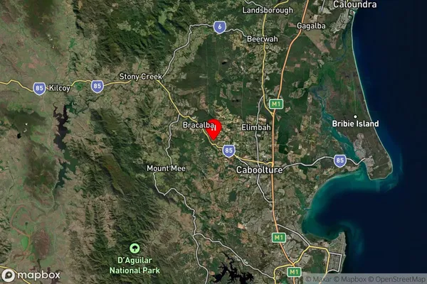
-27.022484Wamuran Suburb Map (Satellite)
Distances
The distance from Wamuran, Moreton Bay - North, QLD to AU Greater Capital CitiesSA1 Code 2011
31302136901SA1 Code 2016
31302136901SA2 Code
313021369SA3 Code
31302SA4 Code
313RA 2011
1RA 2016
1MMM 2015
1MMM 2019
1Charge Zone
Q1LGA Region
Moreton BayLGA Code
35010Electorate
Longman