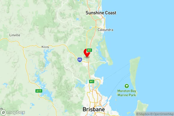
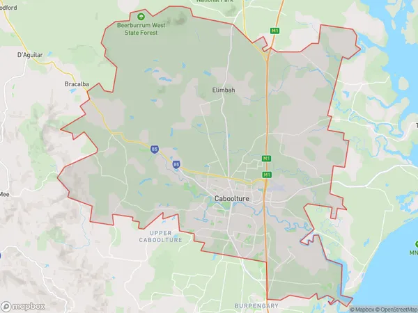
Caboolture Suburbs & Region, Caboolture Map & Postcodes
Caboolture Suburbs & Region, Caboolture Map & Postcodes in Caboolture, Moreton Bay North, QLD, AU
Caboolture Region
Region Name
Caboolture (QLD, AU)Caboolture Area
314.72 square kilometers (314.72 ㎢)Postal Codes
4511, and 4516 (In total, there are 2 postcodes in Caboolture.)Caboolture Introduction
Caboolture is a locality in the Moreton Bay Region, Queensland, Australia. It is located 28 kilometers north of Brisbane and had a population of 41,907 at the 2011 census. Caboolture is known for its beautiful beaches, parks, and recreational facilities, including the Caboolture Riverwalk and Caboolture Lakes. The town also has a significant agricultural industry, with crops such as sugarcane, cotton, and tomatoes being grown in the area. Caboolture is home to several major shopping centers, including Caboolture Square and Caboolture Central. The town is also served by several schools, including Caboolture State High School and Caboolture Christian College.Australia State
City or Big Region
District or Regional Area
Caboolture Region Map

Caboolture Postcodes / Zip Codes
Caboolture Suburbs
Beachmere Sandstone Point
Morayfield East
Caboolture East
Caboolture West
Caboolture full address
Caboolture, Moreton Bay North, Queensland, QLD, Australia, SaCode: 31302Country
Caboolture, Moreton Bay North, Queensland, QLD, Australia, SaCode: 31302
Caboolture Suburbs & Region, Caboolture Map & Postcodes has 5 areas or regions above, and there are 4 Caboolture suburbs below. The sa3code for the Caboolture region is 31302. Its latitude and longitude coordinates are -27.0367,152.961.
Caboolture Suburbs & Localities
1. Sandstone Point
2. Elimbah
3. Godwin Beach
