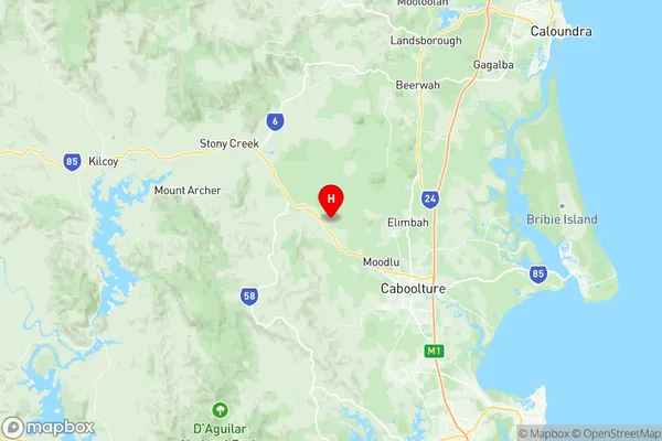
Wamuran Suburbs & Region, Wamuran Map & Postcodes
Wamuran Suburbs & Region, Wamuran Map & Postcodes in Wamuran, Caboolture Hinterland, Moreton Bay North, QLD, AU
Wamuran Region
Region Name
Wamuran (QLD, AU)Wamuran Area
89.39 square kilometers (89.39 ㎢)Postal Codes
4512 (In total, there are 1 postcodes in Wamuran.)Wamuran Introduction
Wamuran is a locality in the Moreton Bay Region, Queensland, Australia. It is part of the City of Caboolture. At the 2011 Australian census, Wamuran had a population of 4,156 people. Wamuran is a rural locality with a mixture of farming and residential properties. It is located approximately 25 kilometres north of Caboolture and 55 kilometres north of Brisbane. The area has a number of parks and recreational facilities, including a cricket club, a golf course, and a swimming pool. The name 'Wamuran' is derived from the Aboriginal word 'Wamurung', which means 'place of water'. The area has a rich cultural heritage, with many Aboriginal sites and artifacts being discovered in the surrounding area. Wamuran is a growing area with new housing developments being built in the area. It is a popular destination for tourists and locals alike, with its beautiful scenery and relaxed atmosphere.Australia State
City or Big Region
Greater Capital City
Greater Brisbane (3GBRI)District or Regional Area
Suburb Name
Wamuran Region Map

Wamuran Postcodes / Zip Codes
Wamuran Suburbs
Wamuran full address
Wamuran, Caboolture Hinterland, Moreton Bay North, Queensland, QLD, Australia, SaCode: 313021369Country
Wamuran, Caboolture Hinterland, Moreton Bay North, Queensland, QLD, Australia, SaCode: 313021369
Wamuran Suburbs & Region, Wamuran Map & Postcodes has 0 areas or regions above, and there are 2 Wamuran suburbs below. The sa2code for the Wamuran region is 313021369. Its latitude and longitude coordinates are -27.0085,152.849. Wamuran area belongs to Australia's greater capital city Greater Brisbane.
Wamuran Suburbs & Localities
1. Bracalba
2. Wamuran
