Bellthorpe Area, Bellthorpe Postcode(4514) & Map in Bellthorpe, Moreton Bay - North, QLD
Bellthorpe Area, Bellthorpe Postcode(4514) & Map in Bellthorpe, Moreton Bay - North, QLD, AU, Postcode: 4514
Bellthorpe, Woodford - D'Aguilar, Caboolture Hinterland, Moreton Bay - North, Queensland, Australia, 4514
Bellthorpe Postcode
Area Name
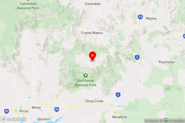
BellthorpeBellthorpe Suburb Area Map (Polygon)

Bellthorpe Introduction
Bellthorpe is a suburb of Moreton Bay, Queensland, Australia. It is located 32 km north of Brisbane and has a population of approximately 4,000 people. Bellthorpe is known for its scenic views, including the Glass House Mountains and the D'Aguilar National Park. It is also home to several schools, including Bellthorpe State School and Bellthorpe State High School.State Name
City or Big Region
District or Regional Area
Suburb Name
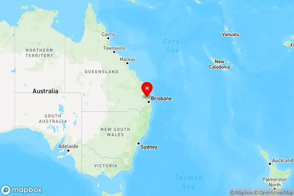
Bellthorpe Region Map
Country
Main Region in AU
R2Coordinates
-26.8442,152.7182 (latitude/longitude)Bellthorpe Area Map (Street)
Longitude
152.760081Latitude
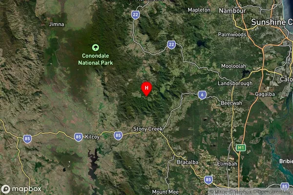
-26.91784Bellthorpe Suburb Map (Satellite)
Distances
The distance from Bellthorpe, Moreton Bay - North, QLD to AU Greater Capital CitiesSA1 Code 2011
31303137116SA1 Code 2016
31303137116SA2 Code
313031371SA3 Code
31303SA4 Code
313RA 2011
2RA 2016
2MMM 2015
5MMM 2019
5Charge Zone
Q1LGA Region
Moreton BayLGA Code
35010Electorate
Longman