Bundaberg Suburbs & Region, Bundaberg Map & Postcodes
Bundaberg Suburbs & Region, Bundaberg Map & Postcodes in Bundaberg, Wide Bay, QLD, AU
Bundaberg Region
Region Name
Bundaberg (QLD, AU)Bundaberg Area
3786 square kilometers (3,786 ㎢)Postal Codes
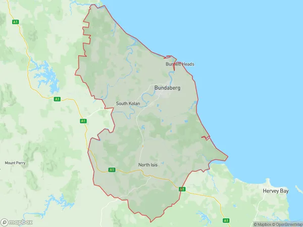
4673 (In total, there are 1 postcodes in Bundaberg.)Bundaberg Suburb Area Map (Polygon)
Bundaberg Introduction
Bundaberg is a city in Queensland, Australia, with a population of around 110,000 people. It is located in the Wide Bay Burnett region and is known for its agricultural industry, particularly the production of sugar and cotton. The city has a number of heritage-listed buildings and attractions, including the Bundaberg Rum Distillery, the Bundaberg Regional Art Gallery, and the Hinkler House Museum. Bundaberg is also home to a number of parks and gardens, including the Botanic Gardens and the Kolan Riverwalk.Australia State
City or Big Region
District or Regional Area
Bundaberg Region Map
Bundaberg Postcodes / Zip Codes
Bundaberg Suburbs
Bundaberg Region North
Bundaberg full address
Bundaberg, Wide Bay, Queensland, QLD, Australia, SaCode: 31901Country
Bundaberg, Wide Bay, Queensland, QLD, Australia, SaCode: 31901
Bundaberg Suburbs & Region, Bundaberg Map & Postcodes has 1 areas or regions above, and there are 4 Bundaberg suburbs below. The sa3code for the Bundaberg region is 31901. Its latitude and longitude coordinates are -24.5999,152.123.
Bundaberg Suburbs & Localities
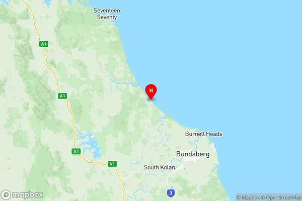
1. Littabella
2. Waterloo
3. Yandaran
4. Miara