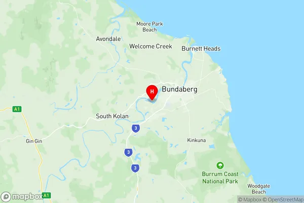
Bundaberg Region North Suburbs & Region, Bundaberg Region North Map & Postcodes
Bundaberg Region North Suburbs & Region, Bundaberg Region North Map & Postcodes in Bundaberg Region North, Bundaberg, Wide Bay, QLD, AU
Bundaberg Region North Region
Region Name
Bundaberg Region North (QLD, AU)Bundaberg Region North Area
1274 square kilometers (1,274 ㎢)Postal Codes
4670, and 4673 (In total, there are 2 postcodes in Bundaberg Region North.)Bundaberg Region North Introduction
Bundaberg Region North, Wide Bay, Queensland, AU, is a region located in the Wide Bay-Burnett district of Queensland, Australia. It is situated in the southeast corner of the state and is bordered by the Coral Sea to the north, the Great Sandy Strait to the east, and the Burnett River to the south. The region covers an area of approximately 12,882 square kilometers and has a population of around 211,000 people. The Bundaberg Region North is known for its diverse range of industries, including agriculture, tourism, and manufacturing. The region is home to the famous Bundaberg Rum distillery, as well as a number of sugarcane farms and vineyards. The region is also a popular tourist destination, with attractions such as the Bundaberg Sugar Museum, the Kolan River National Park, and the Hinkler Hall of Fame. The region has a warm, tropical climate with average temperatures ranging from 22°C to 32°C throughout the year. The region is also known for its abundant rainfall, with an average of over 2,500 millimeters of rain per year.Australia State
City or Big Region
Greater Capital City
Rest of Qld (3RQLD)District or Regional Area
Suburb Name
Bundaberg Region North Region Map

Bundaberg Region North Postcodes / Zip Codes
Bundaberg Region North Suburbs
Bundaberg Region North full address
Bundaberg Region North, Bundaberg, Wide Bay, Queensland, QLD, Australia, SaCode: 319011498Country
Bundaberg Region North, Bundaberg, Wide Bay, Queensland, QLD, Australia, SaCode: 319011498
Bundaberg Region North Suburbs & Region, Bundaberg Region North Map & Postcodes has 0 areas or regions above, and there are 19 Bundaberg Region North suburbs below. The sa2code for the Bundaberg Region North region is 319011498. Its latitude and longitude coordinates are -24.8957,152.277. Bundaberg Region North area belongs to Australia's greater capital city Rest of Qld.
Bundaberg Region North Suburbs & Localities
1. Meadowvale
2. Mullett Creek
3. Littabella
4. Waterloo
5. Abbotsford
6. Fairymead
7. Watalgan
8. Yandaran
9. Avondale
10. Moore Park
11. Moore Park Beach
12. Sharon
13. Winfield
14. Bucca
15. Burnett Downs
16. Moorland
17. South Kolan
18. Welcome Creek
19. Miara
