Littabella Area, Littabella Postcode(4673) & Map in Littabella, Wide Bay, QLD
Littabella Area, Littabella Postcode(4673) & Map in Littabella, Wide Bay, QLD, AU, Postcode: 4673
Littabella, Bundaberg Region - North, Bundaberg, Wide Bay, Queensland, Australia, 4673
Littabella Postcode
Area Name
LittabellaLittabella Suburb Area Map (Polygon)

Littabella Introduction
Littabella is a small town in the Wide Bay region of Queensland, Australia, known for its scenic beauty and agricultural industry. It is located on the banks of the Mary River and has a population of around 2,000 people. The town is home to several historic buildings, including the Littabella Hotel and the Littabella State School.State Name
City or Big Region
District or Regional Area
Suburb Name
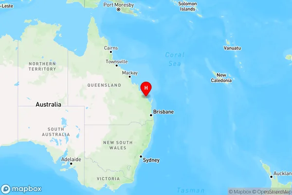
Littabella Region Map
Country
Main Region in AU
R3Coordinates
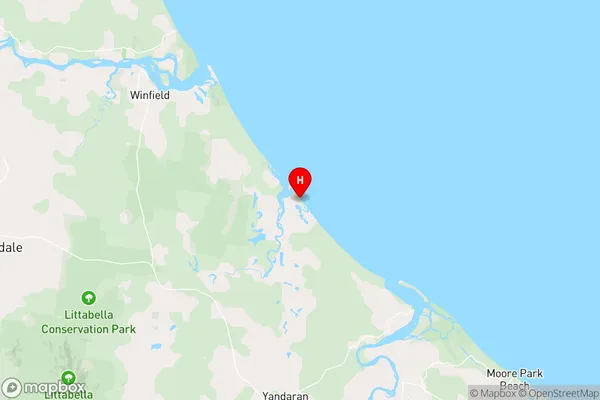
-24.5999,152.123 (latitude/longitude)Littabella Area Map (Street)
Longitude
152.088816Latitude
-24.729644Littabella Elevation
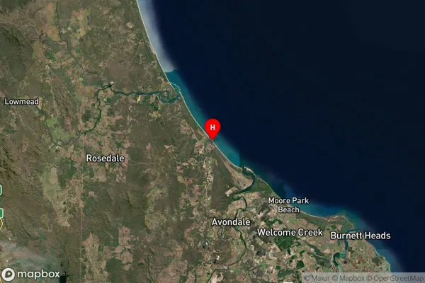
about 43.79 meters height above sea level (Altitude)Littabella Suburb Map (Satellite)
Distances
The distance from Littabella, Wide Bay, QLD to AU Greater Capital CitiesSA1 Code 2011
31901149818SA1 Code 2016
31901149818SA2 Code
319011498SA3 Code
31901SA4 Code
319RA 2011
2RA 2016
2MMM 2015
5MMM 2019
5Charge Zone
Q2LGA Region
BundabergLGA Code
31820Electorate
Flynn