Gilla Area, Gilla Postcode(4314) & Map in Gilla, Darling Downs - Maranoa, QLD
Gilla Area, Gilla Postcode(4314) & Map in Gilla, Darling Downs - Maranoa, QLD, AU, Postcode: 4314
Gilla, Crows Nest - Rosalie, Darling Downs - East, Darling Downs - Maranoa, Queensland, Australia, 4314
Gilla Postcode
Area Name
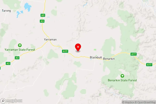
GillaGilla Suburb Area Map (Polygon)

Gilla Introduction
Gilla is a small town in the Maranoa region of Queensland, Australia. It is known for its agricultural industry, particularly cotton and wheat farming. The town has a population of around 1,000 people and is located about 300 kilometers west of Brisbane.State Name
City or Big Region
District or Regional Area
Suburb Name
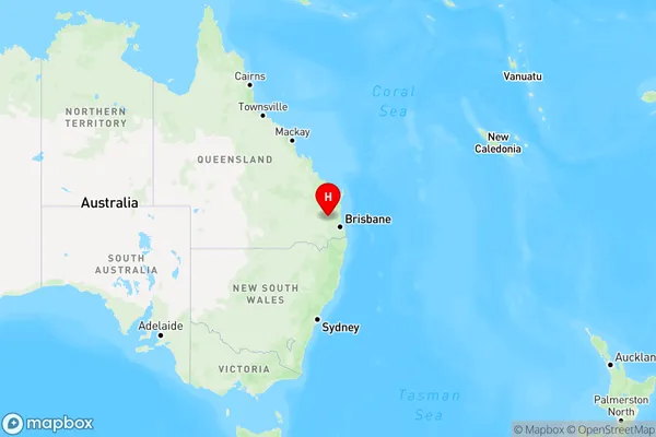
Gilla Region Map
Country
Main Region in AU
R3Coordinates
-26.8703,152.056 (latitude/longitude)Gilla Area Map (Street)
Longitude
152.0092Latitude
-26.9019Gilla Elevation
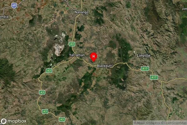
about 403.85 meters height above sea level (Altitude)Gilla Suburb Map (Satellite)
Distances
The distance from Gilla, Darling Downs - Maranoa, QLD to AU Greater Capital CitiesSA1 Code 2011
30702117914SA1 Code 2016
30702117914SA2 Code
307021179SA3 Code
30702SA4 Code
307RA 2011
3RA 2016
2MMM 2015
5MMM 2019
5Charge Zone
Q2LGA Region
SomersetLGA Code
36580Electorate
Wright