Booyal Area, Booyal Postcode(4671) & Map in Booyal, Wide Bay, QLD
Booyal Area, Booyal Postcode(4671) & Map in Booyal, Wide Bay, QLD, AU, Postcode: 4671
Booyal, Bundaberg Region - South, Bundaberg, Wide Bay, Queensland, Australia, 4671
Booyal Postcode
Area Name
BooyalBooyal Suburb Area Map (Polygon)
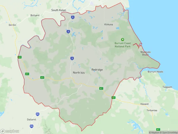
Booyal Introduction
Booyal is a town in the Wide Bay region of Queensland, Australia. It is located on the Bruce Highway and is known for its sugarcane industry. The town has a population of around 3,000 people and is home to several schools, a hospital, and a shopping center.State Name
City or Big Region
District or Regional Area
Suburb Name
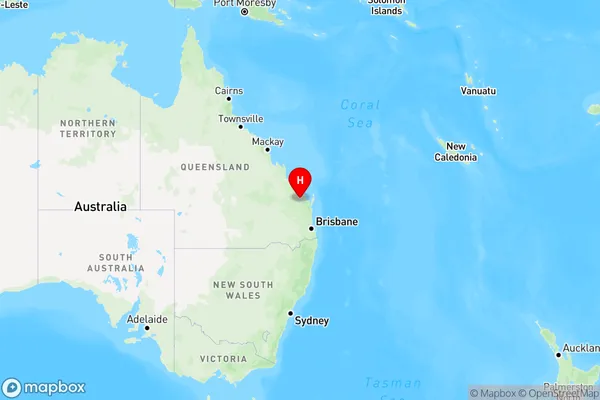
Booyal Region Map
Country
Main Region in AU
R3Coordinates
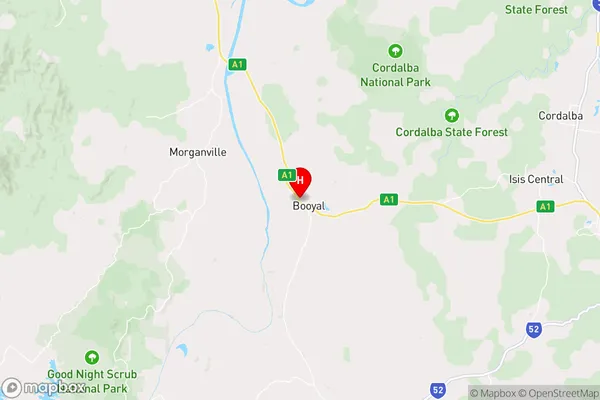
-25.2101796,152.0333642 (latitude/longitude)Booyal Area Map (Street)
Longitude
151.78942Latitude
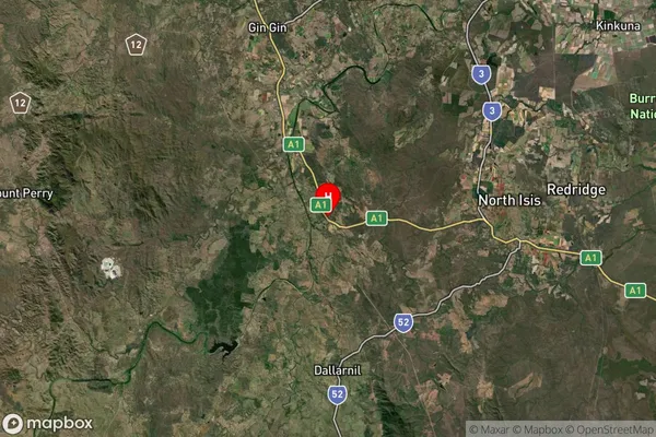
-25.07645Booyal Suburb Map (Satellite)
Distances
The distance from Booyal, Wide Bay, QLD to AU Greater Capital CitiesSA1 Code 2011
31901149903SA1 Code 2016
31901149903SA2 Code
319011499SA3 Code
31901SA4 Code
319RA 2011
2RA 2016
2MMM 2015
5MMM 2019
5Charge Zone
Q2LGA Region
BundabergLGA Code
31820Electorate
Hinkler