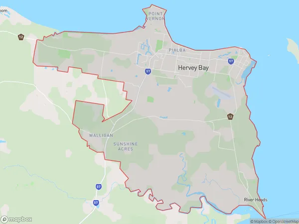
Hervey Bay Suburbs & Region, Hervey Bay Map & Postcodes
Hervey Bay Suburbs & Region, Hervey Bay Map & Postcodes in Hervey Bay, Wide Bay, QLD, AU
Hervey Bay Region
Region Name
Hervey Bay (QLD, AU)Hervey Bay Area
251.56 square kilometers (251.56 ㎢)Hervey Bay Introduction
Hervey Bay is a coastal city in Queensland, Australia, located in the Wide Bay-Burnett region. It is the third-largest city in the region and is known for its beautiful beaches, tropical climate, and vibrant marine life. The city is surrounded by stunning natural scenery, including the Great Barrier Reef and the Hervey Bay National Park. It is a popular tourist destination and is home to a number of attractions, including the Hervey Bay Marina, the Esplanade, and the Underwater World Aquarium.Australia State
City or Big Region
Greater Capital City
Rest of Qld (3RQLD)District or Regional Area
Hervey Bay Suburbs
Hervey Bay full address
Hervey Bay, Wide Bay, Queensland, QLD, Australia, SaCode: 31904Country
Hervey Bay, Wide Bay, Queensland, QLD, Australia, SaCode: 31904
Hervey Bay Suburbs & Region, Hervey Bay Map & Postcodes has 0 areas or regions above, and there are 0 Hervey Bay suburbs below. The sa3code for the Hervey Bay region is 31904. Hervey Bay area belongs to Australia's greater capital city Rest of Qld.
