Abbeywood Area, Abbeywood Postcode(4613) & Map in Abbeywood, Wide Bay, QLD
Abbeywood Area, Abbeywood Postcode(4613) & Map in Abbeywood, Wide Bay, QLD, AU, Postcode: 4613
Abbeywood, Kingaroy Region - North, Burnett, Wide Bay, Queensland, Australia, 4613
Abbeywood Postcode
Area Name
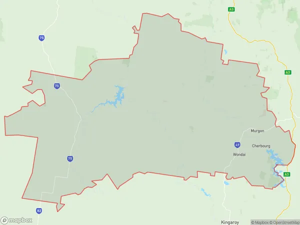
AbbeywoodAbbeywood Suburb Area Map (Polygon)
State Name
City or Big Region
District or Regional Area
Suburb Name
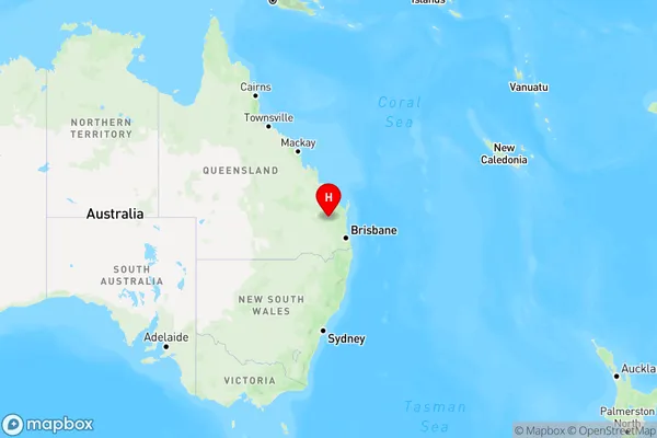
Abbeywood Region Map
Country
Main Region in AU
R3Coordinates
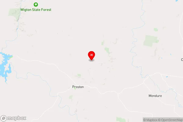
-26.110383,151.6320736 (latitude/longitude)Abbeywood Area Map (Street)
Longitude
151.338904Latitude
-26.279772Abbeywood Elevation
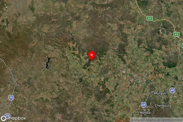
about 323.04 meters height above sea level (Altitude)Abbeywood Suburb Map (Satellite)
Distances
The distance from Abbeywood, Wide Bay, QLD to AU Greater Capital CitiesSA1 Code 2011
31902150618SA1 Code 2016
31902150618SA2 Code
319021506SA3 Code
31902SA4 Code
319RA 2011
3RA 2016
3MMM 2015
5MMM 2019
5Charge Zone
Q2LGA Region
South BurnettLGA Code
36630Electorate
Flynn