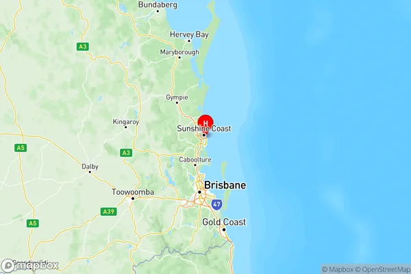
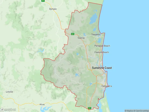
Sunshine Coast Suburbs & Region, Sunshine Coast Map & Postcodes
Sunshine Coast Suburbs & Region, Sunshine Coast Map & Postcodes in Sunshine Coast, QLD, AU
Sunshine Coast Region
Region Name
Sunshine Coast (QLD, AU)Sunshine Coast Area
3086 square kilometers (3,086 ㎢)Postal Codes
from 4517 to 4519, from 4550 to 4562, from 4564 to 4569, from 4571 to 4573, and 4575 (In total, there are 26 postcodes in Sunshine Coast.)Sunshine Coast Introduction
The Sunshine Coast is a region on the east coast of Queensland, Australia, known for its stunning beaches, lush hinterlands, and vibrant culture. It is located approximately 120 kilometers north of Brisbane and stretches from the border with New South Wales to the town of Noosa. The region is home to a diverse range of wildlife, including koalas, wallabies, and kangaroos, and is popular with tourists and outdoor enthusiasts. The Sunshine Coast is also known for its many award-winning wineries and restaurants, which serve fresh seafood and produce from local farms.Australia State
City or Big Region
Sunshine Coast Region Map

Sunshine Coast Postcodes / Zip Codes
Sunshine Coast Suburbs
Nambour Pomona
Sunshine Coast Hinterland
Noosa Hinterland
Sunshine Coast full address
Sunshine Coast, Queensland, QLD, Australia, SaCode: 316Country
Sunshine Coast, Queensland, QLD, Australia, SaCode: 316
Sunshine Coast Suburbs & Region, Sunshine Coast Map & Postcodes has 8 areas or regions above, and there are 159 Sunshine Coast suburbs below. The sa4code for the Sunshine Coast region is 316. Its latitude and longitude coordinates are -26.682,153.118.
Sunshine Coast Suburbs & Localities
1. Diamond Head
2. Buderim
3. Maroochydore Bc
4. Mountain Creek
5. Buddina
6. Yaroomba
7. Pacific Paradise
8. Alexandra Headland
9. Noosa Heads
10. Noosaville Bc
11. Tewantin
12. Peachester
13. Landsborough
14. Baroon Pocket
15. Beerburrum
16. Glass House Mountains
17. Diamond Valley
18. Cooloolabin
19. Belli Park
20. Eudlo
21. Landers Shoot
22. West Woombye
23. Maroochy River
24. Pinbarren
25. Kin Kin
26. Cooran
