Tewantin Area, Tewantin Postcode(4565) & Map in Tewantin, Sunshine Coast, QLD
Tewantin Area, Tewantin Postcode(4565) & Map in Tewantin, Sunshine Coast, QLD, AU, Postcode: 4565
Tewantin, Tewantin, Noosa, Sunshine Coast, Queensland, Australia, 4565
Tewantin Postcode
Area Name
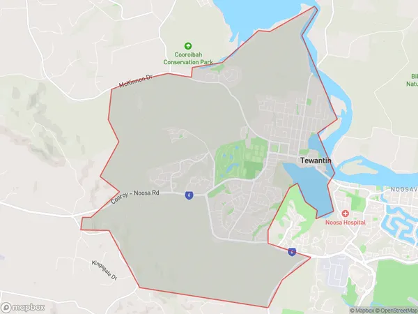
TewantinTewantin Suburb Area Map (Polygon)
Tewantin Introduction
Tewantin is a coastal town on the Sunshine Coast in Queensland, Australia, known for its beaches, lakes, and national parks. It is a popular tourist destination with many attractions, including the Noosa National Park, Eumundi Markets, and the Ginger Factory.State Name
City or Big Region
District or Regional Area
Suburb Name
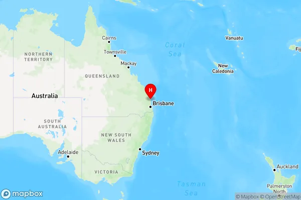
Tewantin Region Map
Country
Main Region in AU
R2Coordinates
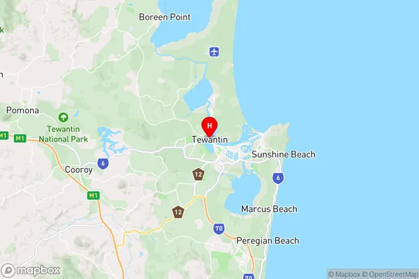
-26.392,153.039 (latitude/longitude)Tewantin Area Map (Street)
Longitude
153.042307Latitude
-26.156837Tewantin Elevation
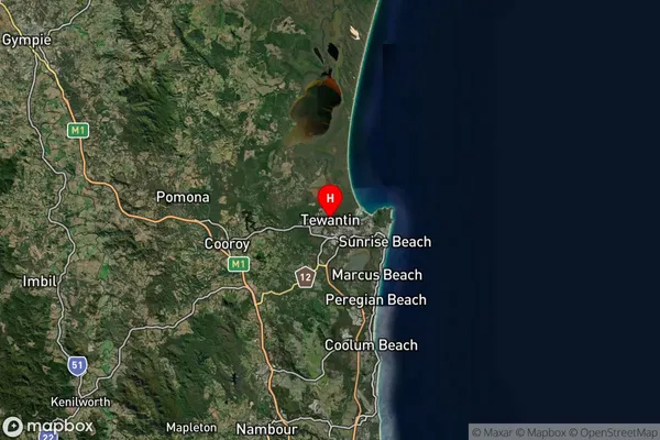
about 4.67 meters height above sea level (Altitude)Tewantin Suburb Map (Satellite)
Distances
The distance from Tewantin, Sunshine Coast, QLD to AU Greater Capital CitiesSA1 Code 2011
31605143821SA1 Code 2016
31605143821SA2 Code
316051438SA3 Code
31605SA4 Code
316RA 2011
1RA 2016
1MMM 2015
1MMM 2019
1Charge Zone
Q2LGA Region
NoosaLGA Code
35740Electorate
Longman