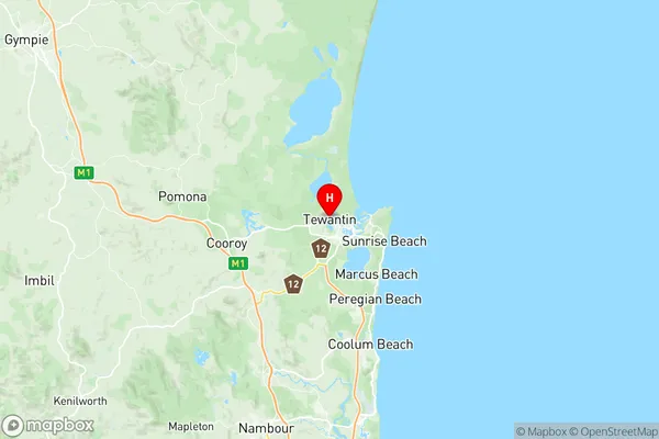
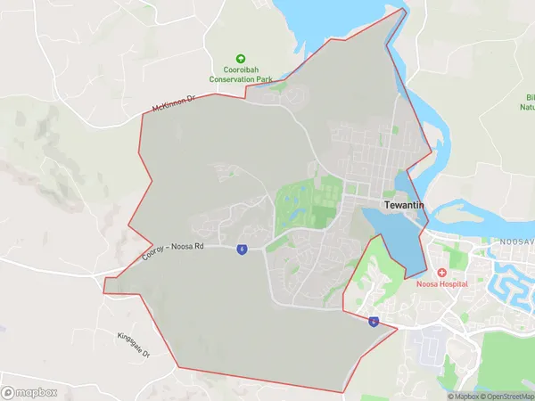
Tewantin Suburbs & Region, Tewantin Map & Postcodes
Tewantin Suburbs & Region, Tewantin Map & Postcodes in Tewantin, Noosa, Sunshine Coast, QLD, AU
Tewantin Region
Region Name
Tewantin (QLD, AU)Tewantin Area
25.62 square kilometers (25.62 ㎢)Postal Codes
4565 (In total, there are 1 postcodes in Tewantin.)Tewantin Introduction
Tewantin is a suburb in the Sunshine Coast Region, Queensland, Australia. It is located about 65 kilometers north of Brisbane and 13 kilometers south of Noosa Heads. Tewantin is a popular tourist destination due to its proximity to the beautiful Noosa River and its many beaches. The suburb has a population of around 10,000 people and is known for its relaxed atmosphere and friendly community. There are several parks and recreational facilities in Tewantin, including a golf course, a bowls club, and a skate park. The suburb also has a variety of shops and restaurants, including a supermarket, a pharmacy, and several cafes and bars. Tewantin is a great place to live or visit, with its beautiful natural surroundings and friendly community.Australia State
City or Big Region
Greater Capital City
Rest of Qld (3RQLD)District or Regional Area
Suburb Name
Tewantin Region Map

Tewantin Postcodes / Zip Codes
Tewantin Suburbs
Tewantin full address
Tewantin, Noosa, Sunshine Coast, Queensland, QLD, Australia, SaCode: 316051438Country
Tewantin, Noosa, Sunshine Coast, Queensland, QLD, Australia, SaCode: 316051438
Tewantin Suburbs & Region, Tewantin Map & Postcodes has 0 areas or regions above, and there are 1 Tewantin suburbs below. The sa2code for the Tewantin region is 316051438. Its latitude and longitude coordinates are -26.392,153.039. Tewantin area belongs to Australia's greater capital city Rest of Qld.
Tewantin Suburbs & Localities
1. Tewantin
