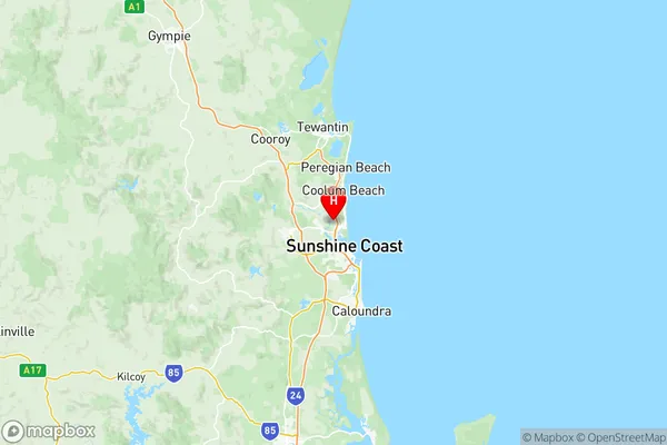
Maroochy Suburbs & Region, Maroochy Map & Postcodes
Maroochy Suburbs & Region, Maroochy Map & Postcodes in Maroochy, Sunshine Coast, QLD, AU
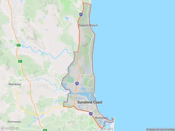
Maroochy Region
Region Name
Maroochy (QLD, AU)Maroochy Area
70.35 square kilometers (70.35 ㎢)Postal Codes
4557, 4564, 4572, and 4575 (In total, there are 4 postcodes in Maroochy.)Maroochy Introduction
Maroochydore is a coastal city in Queensland, Australia, located on the Sunshine Coast. It is known for its beautiful beaches, lush tropical rainforests, and vibrant nightlife. The city is surrounded by the Maroochydore River and Mount Coolum, and is home to a variety of wildlife, including koalas, wallabies, and dolphins. Maroochydore is a popular tourist destination, with many visitors coming to enjoy the beaches, golf courses, and restaurants. The city also has a thriving arts and culture scene, with a number of galleries, museums, and theatres.Australia State
City or Big Region
District or Regional Area
Maroochy Region Map

Maroochy Postcodes / Zip Codes
Maroochy Suburbs
Mountain Creek
Buddina Minyama
Parrearra Warana
Wurtulla Birtinya
Marcoola Mudjimba
Mooloolaba Alexandra Headland
Maroochy full address
Maroochy, Sunshine Coast, Queensland, QLD, Australia, SaCode: 31603Country
Maroochy, Sunshine Coast, Queensland, QLD, Australia, SaCode: 31603
Maroochy Suburbs & Region, Maroochy Map & Postcodes has 6 areas or regions above, and there are 16 Maroochy suburbs below. The sa3code for the Maroochy region is 31603. Its latitude and longitude coordinates are -26.6029,153.066.
Maroochy Suburbs & Localities
1. Mooloolaba
2. Pacific Paradise
3. Kawana Waters
4. Warana Beach
5. Birtinya
6. Buddina
7. Minyama
8. Parrearra
9. Warana
10. Wurtulla
11. Mudjimba
12. Alexandra Headland
13. Mountain Creek
14. Marcoola
15. Twin Waters
16. Bokarina
