Eudlo Area, Eudlo Postcode(4554) & Map in Eudlo, Sunshine Coast, QLD
Eudlo Area, Eudlo Postcode(4554) & Map in Eudlo, Sunshine Coast, QLD, AU, Postcode: 4554
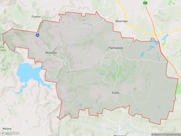
Eudlo, Palmwoods, Sunshine Coast Hinterland, Sunshine Coast, Queensland, Australia, 4554
Eudlo Postcode
Area Name
EudloEudlo Suburb Area Map (Polygon)
Eudlo Introduction
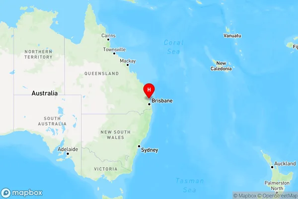
Eudlo is a town in the Sunshine Coast region of Queensland, Australia, located 90 kilometers north of Brisbane. It is known for its scenic surroundings, including the Glass House Mountains and the Maroochy River. The town has a population of around 4,000 people and offers a range of amenities, including a shopping center, library, and medical facilities.State Name
City or Big Region
District or Regional Area
Suburb Name
Eudlo Region Map
Country
Main Region in AU
R2Coordinates
-26.733333,152.966667 (latitude/longitude)Eudlo Area Map (Street)
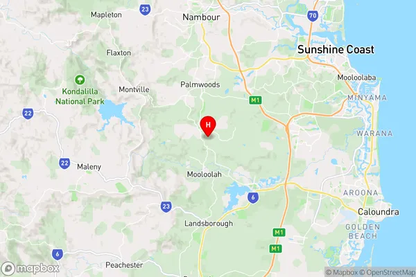
Longitude
152.965037Latitude
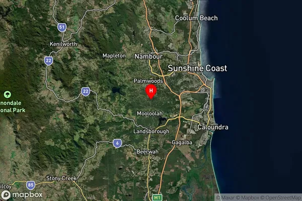
-26.731692Eudlo Suburb Map (Satellite)
Distances
The distance from Eudlo, Sunshine Coast, QLD to AU Greater Capital CitiesSA1 Code 2011
31606144408SA1 Code 2016
31606144408SA2 Code
316061444SA3 Code
31606SA4 Code
316RA 2011
2RA 2016
2MMM 2015
2MMM 2019
2Charge Zone
Q2LGA Region
Sunshine CoastLGA Code
36720Electorate
Fisher