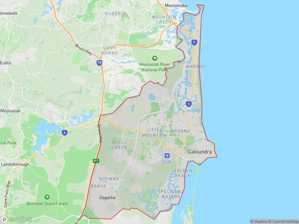
Caloundra Suburbs & Region, Caloundra Map & Postcodes
Caloundra Suburbs & Region, Caloundra Map & Postcodes in Caloundra, Sunshine Coast, QLD, AU
Caloundra Region
Region Name
Caloundra (QLD, AU)Caloundra Area
113.11 square kilometers (113.11 ㎢)Caloundra Introduction
Caloundra is a coastal city in Queensland, Australia, located on the Sunshine Coast. It is known for its beautiful beaches, lush forests, and vibrant culture. The city has a population of around 45,000 people and is a popular destination for tourists and retirees. It is surrounded by stunning natural scenery, including the Glasshouse Mountains and the Pacific Ocean. Caloundra offers a variety of activities and attractions, including shopping, dining, golf, and water sports. It is also home to several parks and gardens, including the Caloundra Regional Park and the Mount Coolum National Park.Australia State
City or Big Region
Greater Capital City
Rest of Qld (3RQLD)District or Regional Area
Caloundra Suburbs
Caloundra West Baringa
Meridan Plains Little Mountain (North)
Caloundra full address
Caloundra, Sunshine Coast, Queensland, QLD, Australia, SaCode: 31602Country
Caloundra, Sunshine Coast, Queensland, QLD, Australia, SaCode: 31602
Caloundra Suburbs & Region, Caloundra Map & Postcodes has 2 areas or regions above, and there are 0 Caloundra suburbs below. The sa3code for the Caloundra region is 31602. Caloundra area belongs to Australia's greater capital city Rest of Qld.
