Brisbane East Suburbs & Region, Brisbane East Map & Postcodes
Brisbane East Suburbs & Region, Brisbane East Map & Postcodes in Brisbane East, QLD, AU
Brisbane East Region
Region Name
Brisbane East (QLD, AU)Brisbane East Area
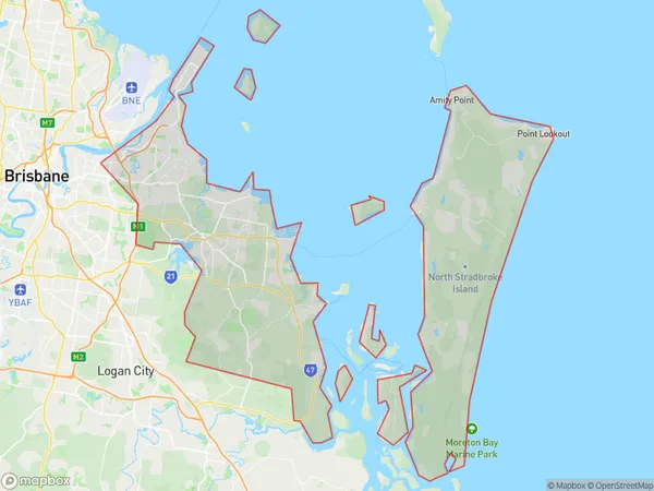
653.13 square kilometers (653.13 ㎢)Brisbane East Suburb Area Map (Polygon)
Brisbane East Introduction
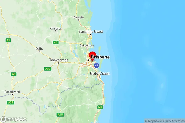
Brisbane East is a suburb in the City of Brisbane, Queensland, Australia. It is located 5 kilometers east of the Brisbane CBD and is part of the Greater Brisbane region. The suburb has a population of around 10,000 people and is known for its leafy streets, quiet parks, and convenient location. Brisbane East is home to a variety of housing options, including single-family homes, apartments, and townhouses. The suburb is also home to several schools, including Brisbane East State School and St. Joseph's College. The area is well-connected to public transport, with several bus routes and train stations nearby. There are also several shopping centers and restaurants in the suburb, including the East Brisbane Shopping Centre and The Gabba.Australia State
City or Big Region
Brisbane East Region Map
Brisbane East Suburbs
Cleveland Stradbroke
Wynnum Manly
Brisbane East full address
Brisbane East, Queensland, QLD, Australia, SaCode: 301Country
Brisbane East, Queensland, QLD, Australia, SaCode: 301
Brisbane East Suburbs & Region, Brisbane East Map & Postcodes has 3 areas or regions above, and there are 0 Brisbane East suburbs below. The sa4code for the Brisbane East region is 301. Its latitude and longitude coordinates are -27.514,153.156.