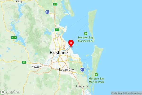
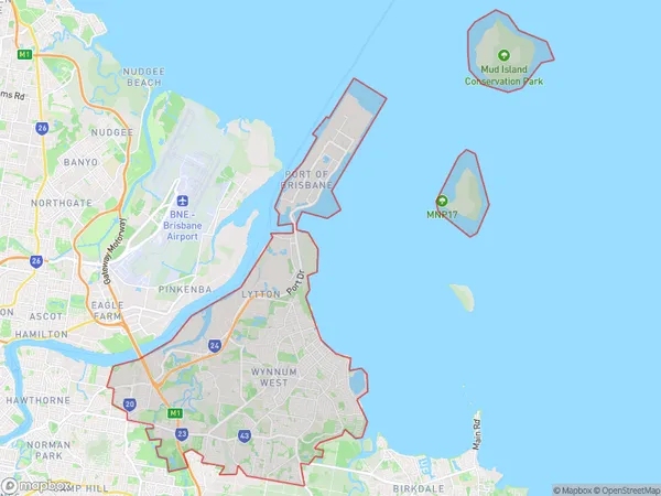
Wynnum Manly Suburbs & Region, Wynnum Manly Map & Postcodes
Wynnum Manly Suburbs & Region, Wynnum Manly Map & Postcodes in Wynnum Manly, Brisbane East, QLD, AU
Wynnum Manly Region
Region Name
Wynnum Manly (QLD, AU)Wynnum Manly Area
82.86 square kilometers (82.86 ㎢)Wynnum Manly Introduction
Wynnum Manly is a suburb in the City of Brisbane, Queensland, Australia. It is located 7 kilometers southeast of the Brisbane CBD and is part of the Greater Brisbane region. Wynnum Manly is known for its beautiful beaches, parks, and vibrant community. The suburb has a population of around 11,000 people and is home to a variety of shops, restaurants, and cafes. It is also home to the Wynnum Manly Seafarers Club, which is one of the oldest seafarers' clubs in Australia. The suburb is well-connected to the rest of Brisbane via public transport, with several bus and train lines servicing the area. Wynnum Manly is also a popular destination for tourists, with many visitors coming to enjoy the beaches and the local attractions.Australia State
City or Big Region
District or Regional Area
Wynnum Manly Region Map

Wynnum Manly Suburbs
Brisbane Port Lytton
Wynnum West Hemmant
Wynnum Manly full address
Wynnum Manly, Brisbane East, Queensland, QLD, Australia, SaCode: 30103Country
Wynnum Manly, Brisbane East, Queensland, QLD, Australia, SaCode: 30103
Wynnum Manly Suburbs & Region, Wynnum Manly Map & Postcodes has 8 areas or regions above, and there are 0 Wynnum Manly suburbs below. The sa3code for the Wynnum Manly region is 30103. Its latitude and longitude coordinates are -27.4167,153.167.
