Doboy Area, Doboy Postcode(4174) & Map in Doboy, Brisbane - East, QLD
Doboy Area, Doboy Postcode(4174) & Map in Doboy, Brisbane - East, QLD, AU, Postcode: 4174
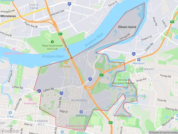
Doboy, Murarrie, Wynnum - Manly, Brisbane - East, Queensland, Australia, 4174
Doboy Postcode
Area Name
DoboyDoboy Suburb Area Map (Polygon)
Doboy Introduction
Doboy is a locality in the City of Brisbane, Queensland, Australia. It is located 5 kilometers east of the Brisbane CBD in the suburb of East Brisbane. The postcode for Doboy is 4101. The locality was named after the former railway station on the Ferny Grove line.State Name
City or Big Region
District or Regional Area
Suburb Name
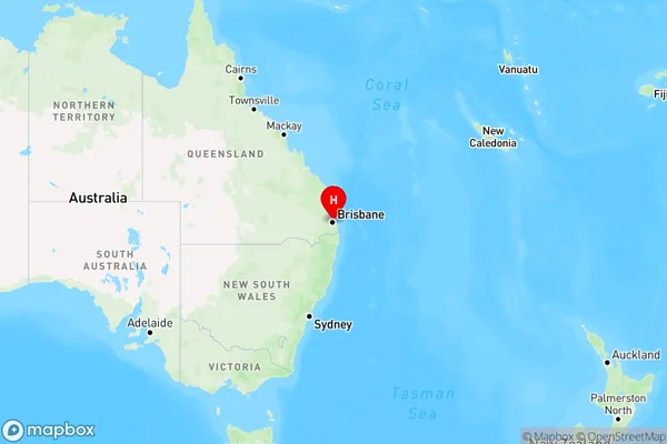
Doboy Region Map
Country
Main Region in AU
R1Coordinates
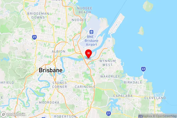
-27.4459,153.112 (latitude/longitude)Doboy Area Map (Street)
Longitude
153.129424Latitude
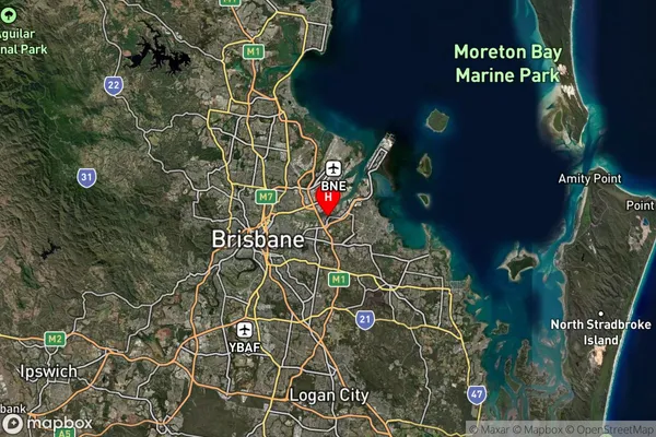
-27.450089Doboy Suburb Map (Satellite)
Distances
The distance from Doboy, Brisbane - East, QLD to AU Greater Capital CitiesSA1 Code 2011
30103101701SA1 Code 2016
30103101701SA2 Code
301031017SA3 Code
30103SA4 Code
301RA 2011
1RA 2016
1MMM 2015
1MMM 2019
1Charge Zone
Q1LGA Region
BrisbaneLGA Code
31000Electorate
Bonner