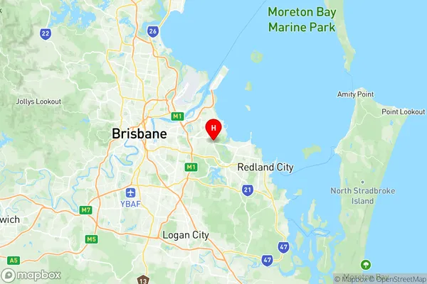
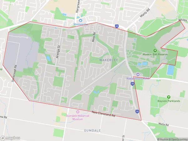
Wakerley Suburbs & Region, Wakerley Map & Postcodes
Wakerley Suburbs & Region, Wakerley Map & Postcodes in Wakerley, Wynnum Manly, Brisbane East, QLD, AU
Wakerley Region
Region Name
Wakerley (QLD, AU)Wakerley Area
5.2 square kilometers (5.2 ㎢)Postal Codes
4154 (In total, there are 1 postcodes in Wakerley.)Wakerley Introduction
Wakerley is a suburb in the City of Brisbane, Queensland, Australia. It is located 7 kilometers southeast of the Brisbane CBD and is part of the Brisbane East Region. Wakerley is a leafy suburb with a mix of residential and commercial properties. It is known for its well-maintained parks, including Wakerley Park, which features a playground, picnic facilities, and walking trails. The suburb has a strong community spirit and is home to a variety of cultural and recreational facilities, including the Wakerley Community Centre, which hosts a range of events and activities throughout the year. Wakerley is well-connected to the rest of Brisbane via public transport, with several bus routes and the Wakerley railway station located within the suburb.Australia State
City or Big Region
Greater Capital City
Greater Brisbane (3GBRI)District or Regional Area
Suburb Name
Wakerley Region Map

Wakerley Postcodes / Zip Codes
Wakerley Suburbs
Wakerley full address
Wakerley, Wynnum Manly, Brisbane East, Queensland, QLD, Australia, SaCode: 301031019Country
Wakerley, Wynnum Manly, Brisbane East, Queensland, QLD, Australia, SaCode: 301031019
Wakerley Suburbs & Region, Wakerley Map & Postcodes has 0 areas or regions above, and there are 1 Wakerley suburbs below. The sa2code for the Wakerley region is 301031019. Its latitude and longitude coordinates are -27.4833,153.167. Wakerley area belongs to Australia's greater capital city Greater Brisbane.
Wakerley Suburbs & Localities
1. Wakerley
