Lytton Area, Lytton Postcode(4178) & Map in Lytton, Brisbane - East, QLD
Lytton Area, Lytton Postcode(4178) & Map in Lytton, Brisbane - East, QLD, AU, Postcode: 4178
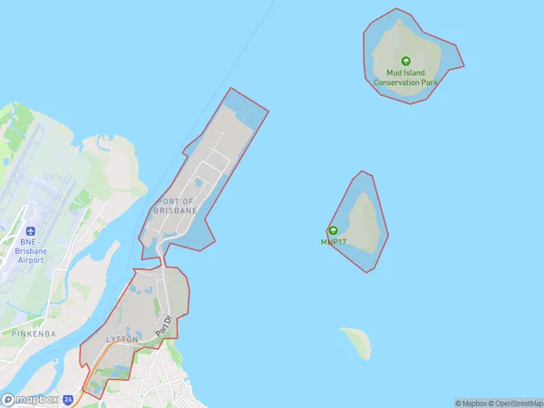
Lytton, Brisbane Port - Lytton, Wynnum - Manly, Brisbane - East, Queensland, Australia, 4178
Lytton Postcode
Area Name
LyttonLytton Suburb Area Map (Polygon)
Lytton Introduction
Lytton is a suburb in the City of Brisbane, Queensland, Australia. It is located 8 kilometers east of the Brisbane CBD and has a population of around 11,000 people. The suburb is named after Sir Lytton, who was the Governor of Queensland from 1889 to 1896. Lytton is known for its historic buildings, including the Lytton Town Hall, which was built in 1910. It is also home to the Lytton Cemetery, which is the final resting place of many prominent Brisbane residents.State Name
City or Big Region
District or Regional Area
Suburb Name
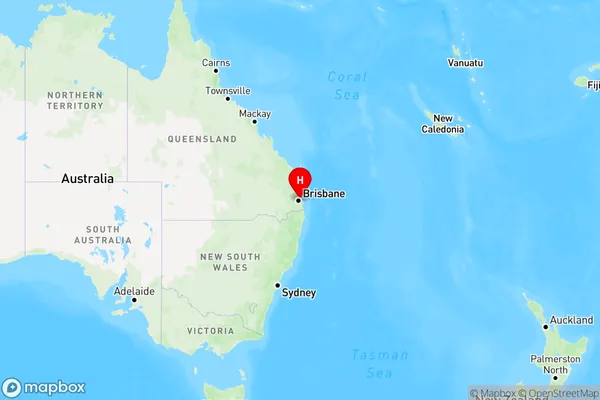
Lytton Region Map
Country
Main Region in AU
R1Coordinates
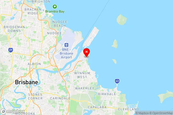
-27.416667,153.166667 (latitude/longitude)Lytton Area Map (Street)
Longitude
153.232567Latitude
-27.425651Lytton Elevation
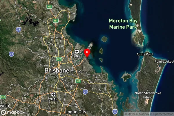
about 1.05 meters height above sea level (Altitude)Lytton Suburb Map (Satellite)
Distances
The distance from Lytton, Brisbane - East, QLD to AU Greater Capital CitiesSA1 Code 2011
30103101401SA1 Code 2016
30103101401SA2 Code
301031014SA3 Code
30103SA4 Code
301RA 2011
1RA 2016
1MMM 2015
1MMM 2019
1Charge Zone
Q1LGA Region
BrisbaneLGA Code
31000Electorate
Bonner