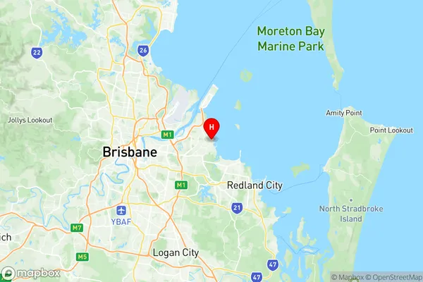
Manly Lota Suburbs & Region, Manly Lota Map & Postcodes
Manly Lota Suburbs & Region, Manly Lota Map & Postcodes in Manly Lota, Wynnum Manly, Brisbane East, QLD, AU
Manly Lota Region
Region Name
Manly Lota (QLD, AU)Manly Lota Area
4.2 square kilometers (4.2 ㎢)Postal Codes
4179 (In total, there are 1 postcodes in Manly Lota.)Manly Lota Introduction
Manly Lota is a suburb in the City of Brisbane, Queensland, Australia. It is located 7 kilometers southeast of the Brisbane CBD and is part of the Greater Brisbane region. The suburb is named after the Manly Ferry, which used to operate between Manly and Brisbane until 1999. Manly Lota has a population of around 10,000 people and is known for its peaceful and quiet atmosphere. It is surrounded by parks and recreational facilities, including the Manly Parklands, which features a swimming pool, tennis courts, and a playground. The suburb also has a shopping center, a medical center, and a variety of restaurants and cafes. Manly Lota is well-connected to the rest of Brisbane, with public transport options including buses and trains. The suburb is also home to several major roads, including the Pacific Motorway and the Gateway Motorway.Australia State
City or Big Region
Greater Capital City
Greater Brisbane (3GBRI)District or Regional Area
Suburb Name
Manly Lota Region Map

Manly Lota Postcodes / Zip Codes
Manly Lota Suburbs
Manly Lota full address
Manly Lota, Wynnum Manly, Brisbane East, Queensland, QLD, Australia, SaCode: 301031015Country
Manly Lota, Wynnum Manly, Brisbane East, Queensland, QLD, Australia, SaCode: 301031015
Manly Lota Suburbs & Region, Manly Lota Map & Postcodes has 0 areas or regions above, and there are 2 Manly Lota suburbs below. The sa2code for the Manly Lota region is 301031015. Its latitude and longitude coordinates are -27.45,153.183. Manly Lota area belongs to Australia's greater capital city Greater Brisbane.
Manly Lota Suburbs & Localities
1. Manly
2. Lota
