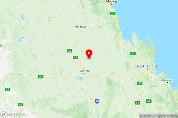
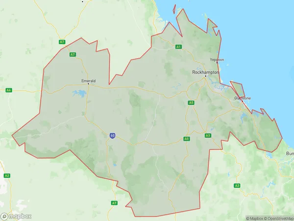
Fitzroy Suburbs & Region, Fitzroy Map & Postcodes
Fitzroy Suburbs & Region, Fitzroy Map & Postcodes in Fitzroy, QLD, AU
Fitzroy Region
Region Name
Fitzroy (QLD, AU)Fitzroy Area
117588 square kilometers (117,588 ㎢)Postal Codes
4419, 4420, 4677, 4678, 4680, 4694, 4695, 4697, from 4699 to 4704, 4706, from 4709 to 4720, 4722, 4723, and 4731 (In total, there are 30 postcodes in Fitzroy.)Fitzroy Introduction
Fitzroy is a suburb in the City of Brisbane, Queensland, Australia. It is located 4 km northwest of the Brisbane CBD. Fitzroy is known for its vibrant arts scene, with many galleries and studios located in the area. It is also home to the iconic Brunswick Street Market, which is a popular destination for locals and tourists alike. The suburb has a rich history and was once home to many of Brisbane's early settlers. It is also notable for its many parks and green spaces, including the Fitzroy Gardens and the Brisbane Botanic Gardens.Australia State
City or Big Region
Fitzroy Region Map

Fitzroy Postcodes / Zip Codes
Fitzroy Suburbs
Central Highlands (Qld)
Gladstone Biloela
Rockhampton
Fitzroy full address
Fitzroy, Queensland, QLD, Australia, SaCode: 308Country
Fitzroy, Queensland, QLD, Australia, SaCode: 308
Fitzroy Suburbs & Region, Fitzroy Map & Postcodes has 5 areas or regions above, and there are 358 Fitzroy suburbs below. The sa4code for the Fitzroy region is 308. Its latitude and longitude coordinates are -23.0352,148.343.
Fitzroy Suburbs & Localities
1. Grosmont
2. Alsace
3. Duaringa
4. Mungabunda
5. Blackwater
6. Woorabinda
7. Wealwandangie
8. Fork Lagoons
9. Tieri
10. Yamala
11. The Common
12. Bajool
13. Emu Park
14. Kinka Beach
15. Glendale
16. Leydens Hill
17. Wandal
18. Yaamba
19. Ogmore
20. Baroondah
21. Prospect
22. Thangool
23. Camboon
24. Eurimbula
25. Bororen
26. Tannum Sands
27. Ambrose
28. Aldoga
29. Raglan
30. Yaraka
