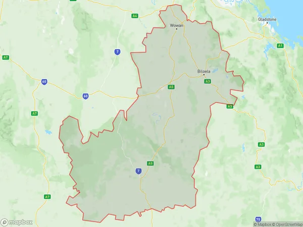
Biloela Suburbs & Region, Biloela Map & Postcodes
Biloela Suburbs & Region, Biloela Map & Postcodes in Biloela, Central Queensland, QLD, AU
Biloela Region
Region Name
Biloela (QLD, AU)Biloela Area
28550 square kilometers (28,550 ㎢)Biloela Introduction
Biloela is a locality in the Banana Shire, Central Queensland, Queensland, Australia. It is one of the major gateways to the Surat Basin and is located 211 km west of the state capital, Brisbane. The town was named after the Biloela River, which flows through it. The population of the town at the 2011 census was 10,431. The town is surrounded by farmland and has a number of tourist attractions, including the Biloela Palms Motel and the Biloela Visitor Information Centre. The town also has a number of schools, including a primary school, a high school, and a TAFE college.Australia State
City or Big Region
Greater Capital City
Rest of Qld (3RQLD)District or Regional Area
Biloela Suburbs
Biloela full address
Biloela, Central Queensland, Queensland, QLD, Australia, SaCode: 30804Country
Biloela, Central Queensland, Queensland, QLD, Australia, SaCode: 30804
Biloela Suburbs & Region, Biloela Map & Postcodes has 0 areas or regions above, and there are 0 Biloela suburbs below. The sa3code for the Biloela region is 30804. Biloela area belongs to Australia's greater capital city Rest of Qld.
