Boyne Island Area, Boyne Island Postcode(4680) & Map in Boyne Island, Central Queensland, QLD
Boyne Island Area, Boyne Island Postcode(4680) & Map in Boyne Island, Central Queensland, QLD, AU, Postcode: 4680
Boyne Island, Boyne Island - Tannum Sands, Gladstone, Central Queensland, Queensland, Australia, 4680
Boyne Island Postcode
Area Name
Boyne IslandBoyne Island Suburb Area Map (Polygon)

Boyne Island Introduction
Boyne Island is a coastal town in Central Queensland, Australia, known for its beaches, fishing, and water sports. It is home to the Boyne Island Coal Terminal, one of the largest coal export facilities in the world.State Name
City or Big Region
District or Regional Area
Suburb Name
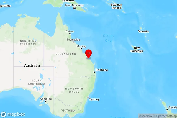
Boyne Island Region Map
Country
Main Region in AU
R3Coordinates
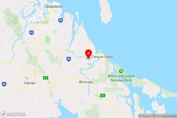
-23.9550674,151.3369966 (latitude/longitude)Boyne Island Area Map (Street)
Longitude
151.917285Latitude
-23.446826Boyne Island Elevation
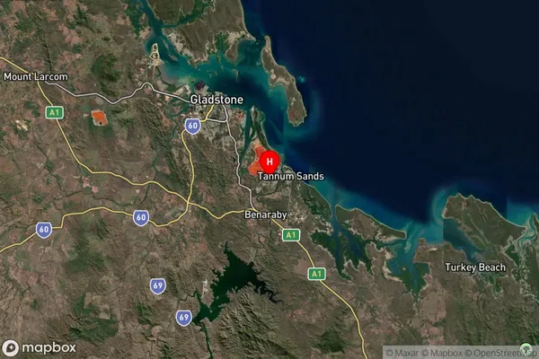
about -0.61 meters height above sea level (Altitude)Boyne Island Suburb Map (Satellite)
Distances
The distance from Boyne Island, Central Queensland, QLD to AU Greater Capital CitiesSA1 Code 2011
30802119622SA1 Code 2016
30805153106SA2 Code
308051531SA3 Code
30805SA4 Code
308RA 2011
2RA 2016
2MMM 2015
3MMM 2019
3Charge Zone
Q2LGA Region
GladstoneLGA Code
33360Electorate
Flynn