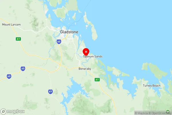
Boyne Island Tannum Sands Suburbs & Region, Boyne Island Tannum Sands Map & Postcodes
Boyne Island Tannum Sands Suburbs & Region, Boyne Island Tannum Sands Map & Postcodes in Boyne Island Tannum Sands, Gladstone Biloela, Fitzroy, QLD, AU
Boyne Island Tannum Sands Region
Region Name
Boyne Island Tannum Sands (QLD, AU)Boyne Island Tannum Sands Area
122.96 square kilometers (122.96 ㎢)Postal Codes
4680 (In total, there are 1 postcodes in Boyne Island Tannum Sands.)Boyne Island Tannum Sands Introduction
Boyne Island Tannum Sands is a locality in the City of Queensland, Australia. It is part of the Gladstone Region. At the 2011 Australian census, Boyne Island Tannum Sands had a population of 4,542 people. The locality is named after the Boyne River, which flows through it. The river is a major source of water for the region and is also popular for fishing and boating. The town is located on the southern side of the island and is surrounded by the Coral Sea. The town has a number of amenities, including a supermarket, a medical center, a library, and a number of cafes and restaurants. There is also a golf course and a marina, which is popular with boaters and fishermen. The town is located about 125 kilometers north of Gladstone and 45 kilometers south of Bundaberg. It is accessible by road from both cities. The nearest airport is Gladstone Airport, which is located about 10 kilometers from the town. The town has a warm climate with average temperatures of around 28 degrees Celsius. The humidity is high, particularly in the summer months. The Boyne Island Tannum Sands region is known for its agriculture, particularly sugarcane farming. The region is also home to a number of tourist attractions, including the Boyne Island Historical Village, which is a replica of a Queensland sugarcaneAustralia State
City or Big Region
Greater Capital City
Rest of Qld (3RQLD)District or Regional Area
Suburb Name
Boyne Island Tannum Sands Region Map

Boyne Island Tannum Sands Postcodes / Zip Codes
Boyne Island Tannum Sands Suburbs
Boyne Island Tannum Sands full address
Boyne Island Tannum Sands, Gladstone Biloela, Fitzroy, Queensland, QLD, Australia, SaCode: 308051531Country
Boyne Island Tannum Sands, Gladstone Biloela, Fitzroy, Queensland, QLD, Australia, SaCode: 308051531
Boyne Island Tannum Sands Suburbs & Region, Boyne Island Tannum Sands Map & Postcodes has 0 areas or regions above, and there are 2 Boyne Island Tannum Sands suburbs below. The sa2code for the Boyne Island Tannum Sands region is 308051531. Its latitude and longitude coordinates are -23.9551,151.337. Boyne Island Tannum Sands area belongs to Australia's greater capital city Rest of Qld.
Boyne Island Tannum Sands Suburbs & Localities
1. Tannum Sands
2. Boyne Island
