Central Highlands (Qld) Suburbs & Region, Central Highlands (Qld) Map & Postcodes
Central Highlands (Qld) Suburbs & Region, Central Highlands (Qld) Map & Postcodes in Central Highlands (Qld), Fitzroy, QLD, AU
Central Highlands (Qld) Region
Region Name
Central Highlands (Qld) (QLD, AU)Central Highlands (Qld) Area
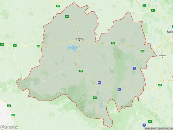
60225 square kilometers (60,225 ㎢)Central Highlands (Qld) Suburb Area Map (Polygon)
Central Highlands (Qld) Introduction
Central Highlands (Qld), Fitzroy, Queensland, AU, is a locality in the Fitzroy Region, Queensland, Australia. It is located 106 km northwest of the state capital, Brisbane. The locality is named after the Central Highlands railway line that passes through it. The Central Highlands region is known for its scenic beauty, including the Mount Superbus Scenic Reserve, the Mount Superbus National Park, and the Mount Stirling National Park. The area is also home to a number of important agricultural industries, including beef cattle, cotton, and sugarcane.Australia State
City or Big Region
District or Regional Area
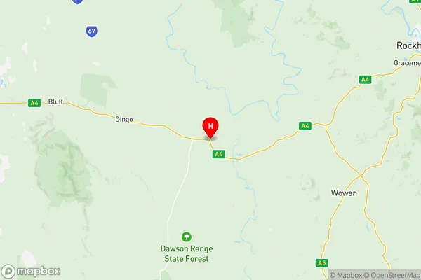
Central Highlands (Qld) Region Map
Central Highlands (Qld) Suburbs
Central Highlands (Qld) full address
Central Highlands (Qld), Fitzroy, Queensland, QLD, Australia, SaCode: 30801Country
Central Highlands (Qld), Fitzroy, Queensland, QLD, Australia, SaCode: 30801
Central Highlands (Qld) Suburbs & Region, Central Highlands (Qld) Map & Postcodes has 1 areas or regions above, and there are 0 Central Highlands (Qld) suburbs below. The sa3code for the Central Highlands (Qld) region is 30801. Its latitude and longitude coordinates are -23.7178,149.673.