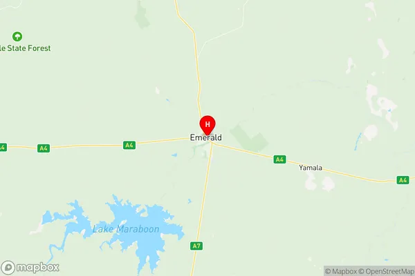
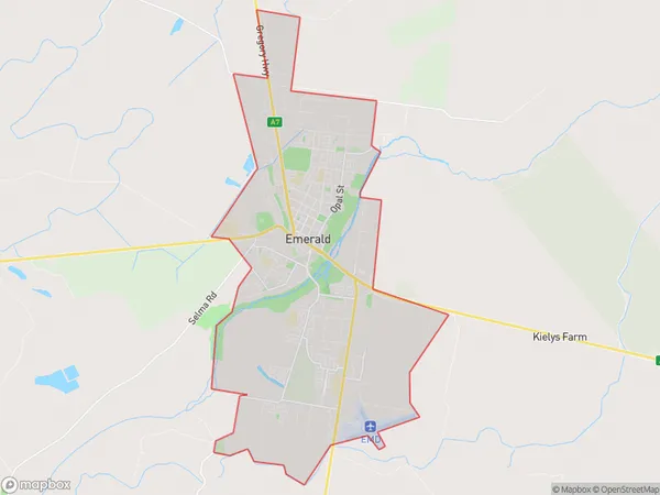
Emerald Suburbs & Region, Emerald Map & Postcodes
Emerald Suburbs & Region, Emerald Map & Postcodes in Emerald, Central Highlands (Qld), Fitzroy, QLD, AU
Emerald Region
Region Name
Emerald (QLD, AU)Emerald Area
38.98 square kilometers (38.98 ㎢)Emerald Introduction
Emerald is a suburb in the City of Brisbane, Queensland, Australia. It is located 5 kilometers northwest of the Brisbane CBD. Emerald is known for its lush green parks, such as Emerald Park and Billabong Park, and its variety of housing options, including apartments, townhouses, and houses. The suburb has a strong community spirit and is home to a variety of cultural and recreational facilities, including a library, a community center, and a swimming pool. Emerald is also well-connected to the rest of Brisbane, with easy access to the Bruce Highway and public transportation.Australia State
City or Big Region
Greater Capital City
Rest of Qld (3RQLD)District or Regional Area
Suburb Name
Emerald Region Map

Emerald Suburbs
Emerald full address
Emerald, Central Highlands (Qld), Fitzroy, Queensland, QLD, Australia, SaCode: 308011192Country
Emerald, Central Highlands (Qld), Fitzroy, Queensland, QLD, Australia, SaCode: 308011192
Emerald Suburbs & Region, Emerald Map & Postcodes has 0 areas or regions above, and there are 0 Emerald suburbs below. The sa2code for the Emerald region is 308011192. Its latitude and longitude coordinates are -23.5273,148.165. Emerald area belongs to Australia's greater capital city Rest of Qld.
