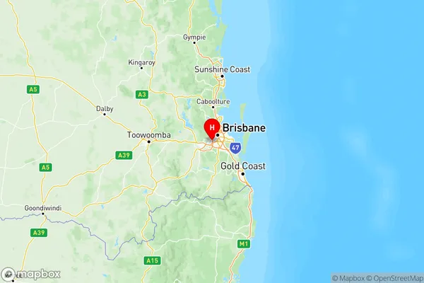
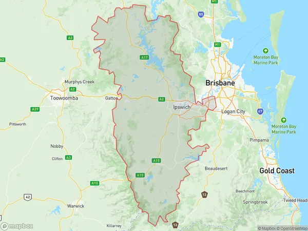
Ipswich Suburbs & Region, Ipswich Map & Postcodes
Ipswich Suburbs & Region, Ipswich Map & Postcodes in Ipswich, QLD, AU
Ipswich Region
Region Name
Ipswich (QLD, AU)Ipswich Area
6681 square kilometers (6,681 ㎢)Postal Codes
4069, 4070, from 4074 to 4078, 4110, 4300, 4301, from 4303 to 4305, 4307, 4309, 4310, 4312, 4340, 4341, 4346, and 4373 (In total, there are 21 postcodes in Ipswich.)Ipswich Introduction
Ipswich is a city in Queensland, Australia, with a population of over 300,000 people. It is located in the Ipswich Region and is known for its historic architecture, including the Ipswich Convict Barracks and the Old Government House. The city is also home to a number of parks and gardens, including the Ipswich Botanic Gardens and the Riverwalk. Ipswich is a major industrial hub, with a number of factories and warehouses located in the area. It is also home to a number of universities and colleges, including the University of Queensland and the Queensland University of Technology.Australia State
City or Big Region
Ipswich Region Map

Ipswich Postcodes / Zip Codes
Ipswich Suburbs
Forest Lake Oxley
Ipswich Hinterland
Ipswich Inner
Springfield Redbank
Ipswich full address
Ipswich, Queensland, QLD, Australia, SaCode: 310Country
Ipswich, Queensland, QLD, Australia, SaCode: 310
Ipswich Suburbs & Region, Ipswich Map & Postcodes has 4 areas or regions above, and there are 210 Ipswich suburbs below. The sa4code for the Ipswich region is 310. Its latitude and longitude coordinates are -27.5571,152.934.
Ipswich Suburbs & Localities
1. Heathwood Df
2. Mount Ommaney
3. Bellbowrie
4. Kenmore Dc
5. Graceville East
6. The Head
7. Darra
8. Richlands Bc
9. Forest Lake
10. Fassifern Valley
11. Coleyville
12. Allandale
13. Mount Walker West
14. Limestone Ridges
15. Caboonbah
16. Blenheim
17. Marburg
18. Dinmore
19. Bundamba
20. Augustine Heights
21. Collingwood Park
