Heathwood Area, Heathwood Postcode(4110) & Map in Heathwood, Brisbane - South, QLD
Heathwood Area, Heathwood Postcode(4110) & Map in Heathwood, Brisbane - South, QLD, AU, Postcode: 4110
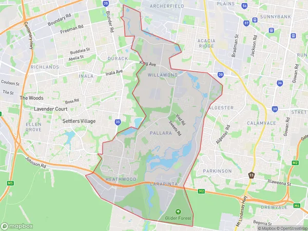
Heathwood, Pallara - Willawong, Rocklea - Acacia Ridge, Brisbane - South, Queensland, Australia, 4110
Heathwood Postcode
Area Name
HeathwoodHeathwood Suburb Area Map (Polygon)
Heathwood Introduction
Heathwood is a suburb in Brisbane's south, 6 kilometers from the CBD. It has a variety of shops, parks, and recreational facilities and is well-connected to public transportation. The suburb has a diverse population and is home to many families and young professionals.State Name
City or Big Region
District or Regional Area
Suburb Name
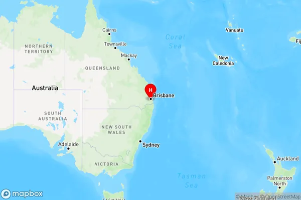
Heathwood Region Map
Country
Main Region in AU
R1Coordinates
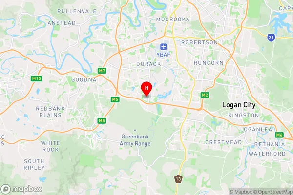
-27.633333,152.983333 (latitude/longitude)Heathwood Area Map (Street)
Longitude
153.009526Latitude
-27.612178Heathwood Elevation
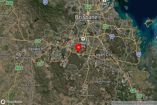
about 319.47 meters height above sea level (Altitude)Heathwood Suburb Map (Satellite)
Distances
The distance from Heathwood, Brisbane - South, QLD to AU Greater Capital CitiesSA1 Code 2011
30305107406SA1 Code 2016
30305107415SA2 Code
303051074SA3 Code
30305SA4 Code
303RA 2011
1RA 2016
1MMM 2015
1MMM 2019
1Charge Zone
Q1LGA Region
LoganLGA Code
34590Electorate
Oxley