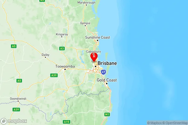
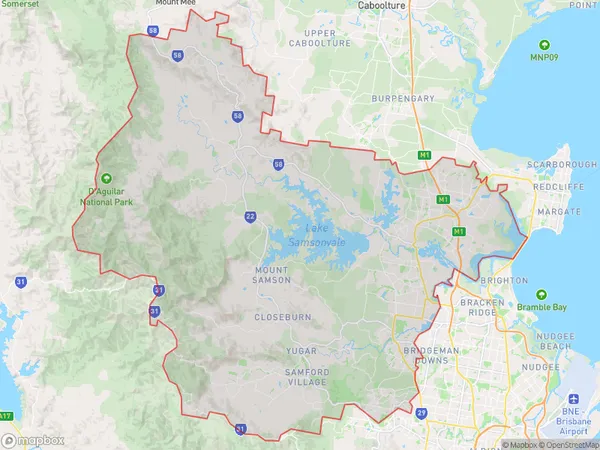
Moreton Bay South Suburbs & Region, Moreton Bay South Map & Postcodes
Moreton Bay South Suburbs & Region, Moreton Bay South Map & Postcodes in Moreton Bay South, QLD, AU
Moreton Bay South Region
Region Name
Moreton Bay South (QLD, AU)Moreton Bay South Area
773.39 square kilometers (773.39 ㎢)Postal Codes
4019, 4035, 4037, from 4053 to 4055, from 4500 to 4503, 4509, 4520, and 4521 (In total, there are 13 postcodes in Moreton Bay South.)Moreton Bay South Introduction
Moreton Bay South is a locality in the Moreton Bay Region, Queensland, Australia. It is part of the Brisbane metropolitan area. At the 2011 Australian census, Moreton Bay South had a population of 32,106 people. The suburb is represented by two members of the Legislative Assembly of Queensland, one of whom is Labor's Chris Whiting. The suburb is named after Moreton Bay, which is located to the south of the locality. The bay was named by Captain James Cook in 1770.Australia State
City or Big Region
Moreton Bay South Region Map

Moreton Bay South Postcodes / Zip Codes
Moreton Bay South Suburbs
Hills District
North Lakes
Moreton Bay South full address
Moreton Bay South, Queensland, QLD, Australia, SaCode: 314Country
Moreton Bay South, Queensland, QLD, Australia, SaCode: 314
Moreton Bay South Suburbs & Region, Moreton Bay South Map & Postcodes has 3 areas or regions above, and there are 82 Moreton Bay South suburbs below. The sa4code for the Moreton Bay South region is 314. Its latitude and longitude coordinates are -27.3469,152.968.
Moreton Bay South Suburbs & Localities
1. Bridgeman Downs
2. Everton Park
3. Kedron Upper
4. Enoggera Reservoir
5. Grovely
6. Mount Mee
7. Scotts Point
8. Joyner
9. Whiteside
10. Eatons Hill
11. Mango Hill
12. Lawnton
13. Frenchs Forest
