Strathpine Suburbs & Region, Strathpine Map & Postcodes
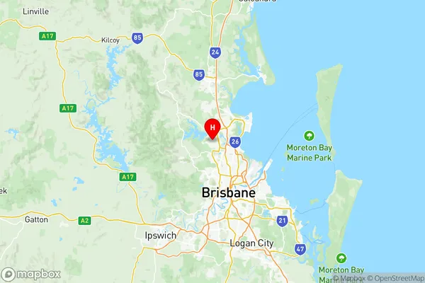
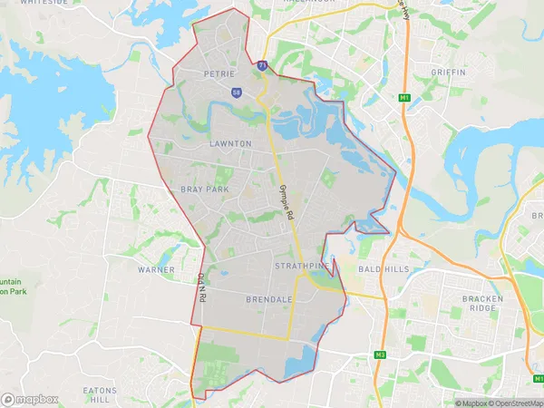
Strathpine Suburbs & Region, Strathpine Map & Postcodes in Strathpine, Moreton Bay South, QLD, AU
Strathpine Region
Region Name
Strathpine (QLD, AU)Strathpine Area
38.4 square kilometers (38.4 ㎢)Postal Codes
from 4500 to 4503 (In total, there are 4 postcodes in Strathpine.)Strathpine Introduction
Strathpine is a suburb in the Moreton Bay Region, Queensland, Australia. It is located 18 kilometers north of Brisbane's central business district and is part of the Pine Rivers Shire. Strathpine is a planned community with a variety of housing styles, including apartments, townhouses, and single-family homes. It has a number of parks and recreational facilities, including a shopping center, a library, and a sports complex. The suburb is also home to a number of major businesses, including IKEA and Costco.Australia State
City or Big Region
District or Regional Area
Strathpine Region Map

Strathpine Postcodes / Zip Codes
Strathpine Suburbs
Dakabin Kallangur
Murrumba Downs Griffin
Strathpine Brendale
Strathpine full address
Strathpine, Moreton Bay South, Queensland, QLD, Australia, SaCode: 31403Country
Strathpine, Moreton Bay South, Queensland, QLD, Australia, SaCode: 31403
Strathpine Suburbs & Region, Strathpine Map & Postcodes has 7 areas or regions above, and there are 21 Strathpine suburbs below. The sa3code for the Strathpine region is 31403. Its latitude and longitude coordinates are -27.2928,152.962.
Strathpine Suburbs & Localities
1. Clear Mountain
2. Joyner
3. Strathpine
4. Frenchs Forest
5. Dakabin
6. Dohles Rocks
7. Whiteside
8. Bray Park
9. Brendale
10. Lawnton
11. Kallangur
12. Brendale Bc
13. Cashmere
14. Strathpine City
15. Kurwongbah
16. Murrumba Downs
17. Brendale Dc
18. Strathpine Centre
19. Warner
20. Petrie
21. Griffin
