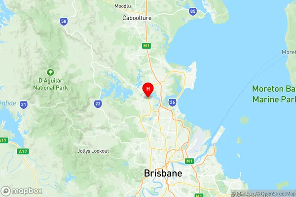
Lawnton Suburbs & Region, Lawnton Map & Postcodes
Lawnton Suburbs & Region, Lawnton Map & Postcodes in Lawnton, Strathpine, Moreton Bay South, QLD, AU
Lawnton Region
Region Name
Lawnton (QLD, AU)Lawnton Area
9.3 square kilometers (9.3 ㎢)Postal Codes
4501 (In total, there are 1 postcodes in Lawnton.)Lawnton Introduction
Lawnton is a suburb in the Moreton Bay Region, Queensland, Australia. It is part of the City of Brisbane. At the 2011 Australian census, Lawnton recorded a population of 11,165. Lawnton is located 10 kilometres south of the Brisbane CBD and is bordered by the suburbs of Deagon, Redcliffe, and Carindale. The suburb has a variety of shops, restaurants, and parks, including Lawnton Park, which features a playground, picnic facilities, and a basketball court. The suburb is also home to several large industrial estates, including the Lawnton Industrial Estate and the Gateway Industrial Estate.Australia State
City or Big Region
Greater Capital City
Greater Brisbane (3GBRI)District or Regional Area
Suburb Name
Lawnton Region Map

Lawnton Postcodes / Zip Codes
Lawnton Suburbs
Lawnton full address
Lawnton, Strathpine, Moreton Bay South, Queensland, QLD, Australia, SaCode: 314031392Country
Lawnton, Strathpine, Moreton Bay South, Queensland, QLD, Australia, SaCode: 314031392
Lawnton Suburbs & Region, Lawnton Map & Postcodes has 0 areas or regions above, and there are 1 Lawnton suburbs below. The sa2code for the Lawnton region is 314031392. Its latitude and longitude coordinates are -27.2839,152.982. Lawnton area belongs to Australia's greater capital city Greater Brisbane.
Lawnton Suburbs & Localities
1. Lawnton
