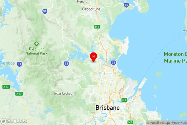
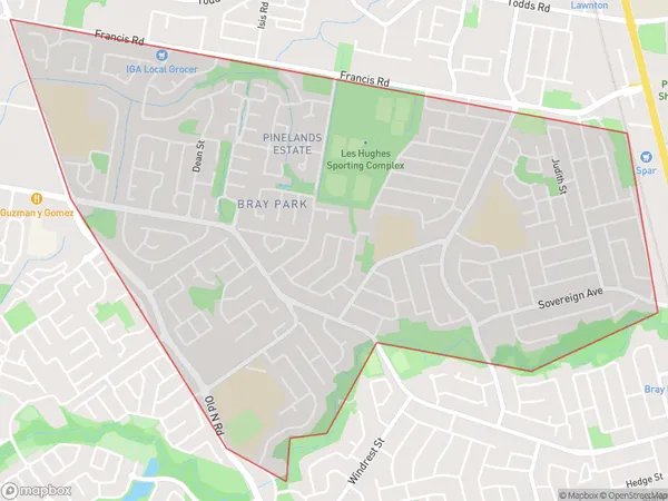
Bray Park Suburbs & Region, Bray Park Map & Postcodes
Bray Park Suburbs & Region, Bray Park Map & Postcodes in Bray Park, Strathpine, Moreton Bay South, QLD, AU
Bray Park Region
Region Name
Bray Park (QLD, AU)Bray Park Area
4.49 square kilometers (4.49 ㎢)Postal Codes
4500 (In total, there are 1 postcodes in Bray Park.)Bray Park Introduction
Bray Park is a locality in the Moreton Bay Region, Queensland, Australia. It is one of the major gateways to the Moreton Bay Islands. The locality is named after John Bray, who was a pastoralist on the island in the 1840s. Bray Park has a population of around 1,500 people and is located about 20 kilometers from Brisbane's central business district. The area is known for its beautiful beaches, parks, and recreational facilities, including a golf course, tennis courts, and a bowls club. There are also several schools in the area, including Bray Park State School and St. John's Catholic Primary School.Australia State
City or Big Region
Greater Capital City
Greater Brisbane (3GBRI)District or Regional Area
Suburb Name
Bray Park Region Map

Bray Park Postcodes / Zip Codes
Bray Park Suburbs
Bray Park full address
Bray Park, Strathpine, Moreton Bay South, Queensland, QLD, Australia, SaCode: 314031391Country
Bray Park, Strathpine, Moreton Bay South, Queensland, QLD, Australia, SaCode: 314031391
Bray Park Suburbs & Region, Bray Park Map & Postcodes has 0 areas or regions above, and there are 1 Bray Park suburbs below. The sa2code for the Bray Park region is 314031391. Its latitude and longitude coordinates are -27.2928,152.962. Bray Park area belongs to Australia's greater capital city Greater Brisbane.
Bray Park Suburbs & Localities
1. Bray Park
