Murrumba Downs Area, Murrumba Downs Postcode(4503) & Map in Murrumba Downs, Moreton Bay - South, QLD
Murrumba Downs Area, Murrumba Downs Postcode(4503) & Map in Murrumba Downs, Moreton Bay - South, QLD, AU, Postcode: 4503
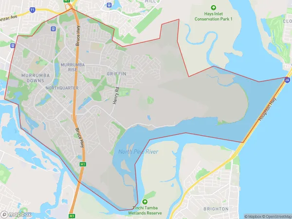
Murrumba Downs, Murrumba Downs - Griffin, North Lakes, Moreton Bay - South, Queensland, Australia, 4503
Murrumba Downs Postcode
Area Name
Murrumba DownsMurrumba Downs Suburb Area Map (Polygon)
Murrumba Downs Introduction
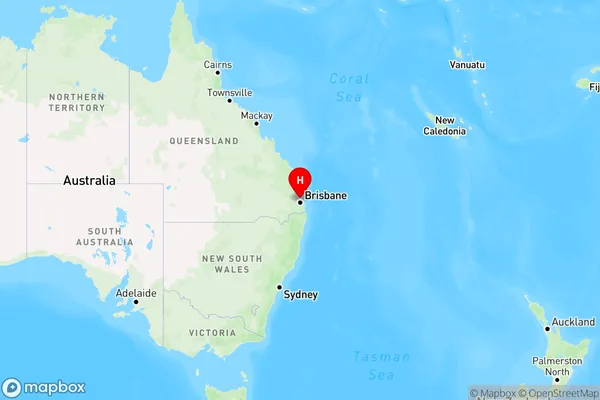
Murrumba Downs is a suburb of Moreton Bay, South, QLD, AU, located 25 km north of Brisbane. It has a population of approximately 10,000 people and is known for its rural atmosphere, with many farms and open spaces. The suburb is home to several schools, including Murrumba State School and Murrumba State High School, as well as a shopping center and a medical center.State Name
City or Big Region
District or Regional Area
Suburb Name
Murrumba Downs Region Map
Country
Main Region in AU
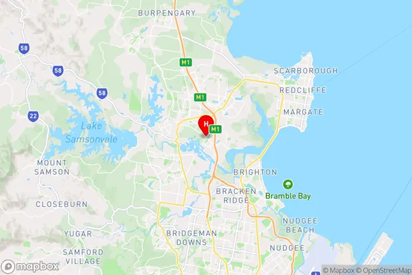
R2Coordinates
-27.2670888,153.0091078 (latitude/longitude)Murrumba Downs Area Map (Street)
Longitude
152.993187Latitude
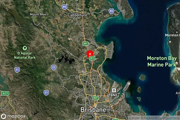
-27.240638Murrumba Downs Elevation
about 17.90 meters height above sea level (Altitude)Murrumba Downs Suburb Map (Satellite)
Distances
The distance from Murrumba Downs, Moreton Bay - South, QLD to AU Greater Capital CitiesSA1 Code 2011
31402138915SA1 Code 2016
31402138931SA2 Code
314021389SA3 Code
31402SA4 Code
314RA 2011
1RA 2016
1MMM 2015
1MMM 2019
1Charge Zone
Q1LGA Region
Moreton BayLGA Code
35010Electorate
Petrie