Kurwongbah Area, Kurwongbah Postcode(4503) & Map in Kurwongbah, Moreton Bay - South, QLD
Kurwongbah Area, Kurwongbah Postcode(4503) & Map in Kurwongbah, Moreton Bay - South, QLD, AU, Postcode: 4503
Kurwongbah, Dayboro, The Hills District, Moreton Bay - South, Queensland, Australia, 4503
Kurwongbah Postcode
Area Name
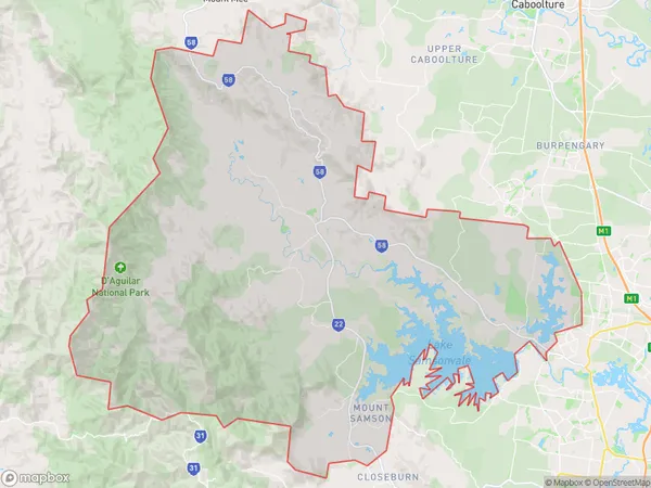
KurwongbahKurwongbah Suburb Area Map (Polygon)
Kurwongbah Introduction
Kurwongbah is a suburb in the Moreton Bay Region, Queensland, Australia. It is located 23 kilometers from Brisbane and has a population of approximately 11,000 people. Kurwongbah is known for its rural atmosphere and scenic surroundings, with many residents enjoying outdoor activities such as hiking, biking, and fishing. The suburb also has a number of schools, shops, and restaurants.State Name
City or Big Region
District or Regional Area
Suburb Name
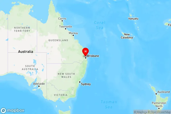
Kurwongbah Region Map
Country
Main Region in AU
R2Coordinates
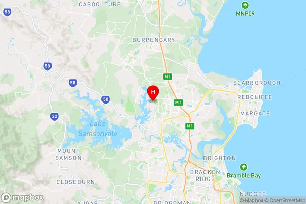
-27.2308,152.969 (latitude/longitude)Kurwongbah Area Map (Street)
Longitude
152.993187Latitude
-27.240638Kurwongbah Elevation
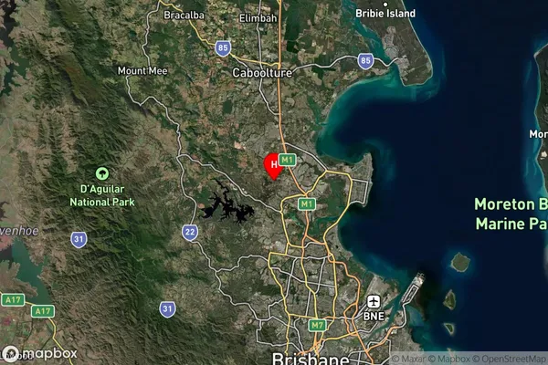
about 17.90 meters height above sea level (Altitude)Kurwongbah Suburb Map (Satellite)
Distances
The distance from Kurwongbah, Moreton Bay - South, QLD to AU Greater Capital CitiesSA1 Code 2011
31401138407SA1 Code 2016
31401138407SA2 Code
314011384SA3 Code
31401SA4 Code
314RA 2011
1RA 2016
1MMM 2015
1MMM 2019
1Charge Zone
Q1LGA Region
Moreton BayLGA Code
35010Electorate
Petrie