ZipCode 4520 Areas, AU PostCode 4520 Suburbs
Postcode 4520 Suburbs, ZipCode 4520 Areas & Regions in The Hills District,QLD Australia
There are at least 18 AU suburbs share the same AU PostCode 4520 Suburbs in The Hills District, The Gap - Enoggera.
Postal Code 4520 Regions
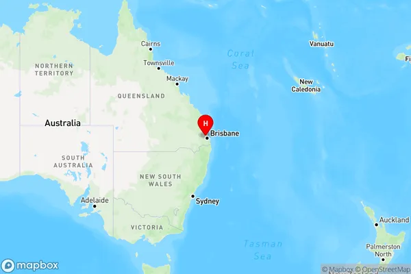
The Australia postcode 4520 regions include Samford Valley, Dayboro, Enoggera Reservoir in the areas of The Hills District, The Gap - Enoggera, Samford Valley, These postcode areas are all located in the state Queensland, QLD.Australia postcode 4520 is located in the state of Queensland, in the city of Brisbane. It covers the suburbs of Annerley, Dutton Park, Fairfield, and Yeronga. The postcode was first introduced in 1968 and has since been used to deliver mail to the area.
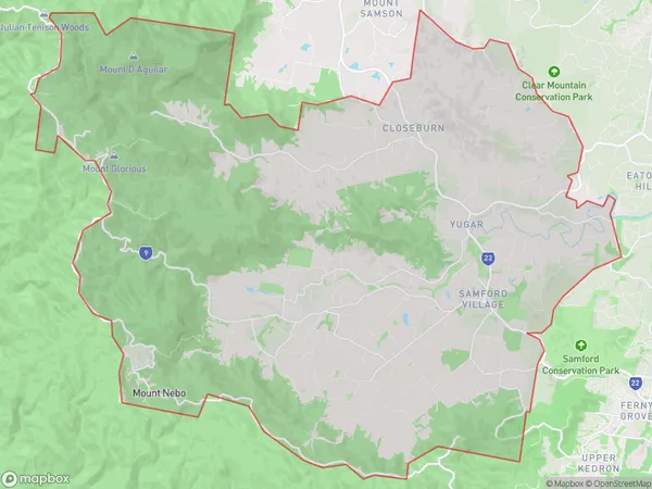
ZipCode 4520 Areas Map for Samford Valley
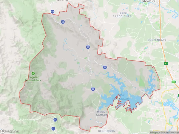
AU PostCode 4520 Suburbs Map for Dayboro
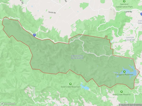
Postal Code 4520 Regions Map for Enoggera Reservoir
AU PostCode 4520 Suburbs
AU PostCode 4520 suburbs contain Cedar Creek, Draper, Jollys Lookout, Mount Glorious, Samford, Camp Mountain, Closeburn, Highvale, Kobble Creek, Samford Village, Enoggera Reservoir, Mount Nebo, Wights Mountain, Yugar, Armstrong Creek, Mount Samson, Samford Valley, Samsonvale, you can check the below link to see the 18 suburbs detailed information.
AU PostCode 4520 Suburbs Map
ZipCode 4520 Areas
1. Cedar Creek
2. Draper
3. Jollys Lookout
4. Mount Glorious
5. Samford
6. Camp Mountain
7. Closeburn
8. Highvale
9. Kobble Creek
10. Samford Village
11. Enoggera Reservoir
12. Mount Nebo
13. Wights Mountain
14. Yugar
15. Armstrong Creek
16. Mount Samson
17. Samford Valley
18. Samsonvale