ZipCode 4521 Areas, AU PostCode 4521 Suburbs
Postcode 4521 Suburbs, ZipCode 4521 Areas & Regions in Caboolture Hinterland,QLD Australia
There are at least 8 AU suburbs share the same AU PostCode 4521 Suburbs in Caboolture Hinterland, The Hills District.
Postal Code 4521 Regions
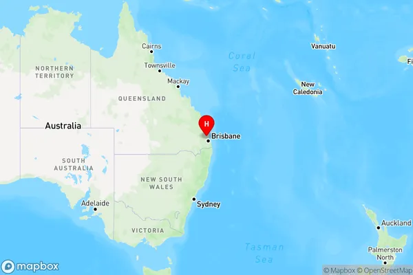
The Australia postcode 4521 regions include Woodford - D'Aguilar, Dayboro in the areas of Caboolture Hinterland, The Hills District, Woodford - D'Aguilar, These postcode areas are all located in the state Queensland, QLD.Australia postcode 4521 is located in the state of Queensland, in the city of Brisbane. It covers a large area, including the suburbs of Annerley, Dutton Park, Fairfield, and Moorooka. The postcode is known for its diverse population and vibrant cultural scene, with many restaurants, cafes, and bars located in the area. It is also home to several universities and colleges, including the Queensland University of Technology and the University of Queensland.
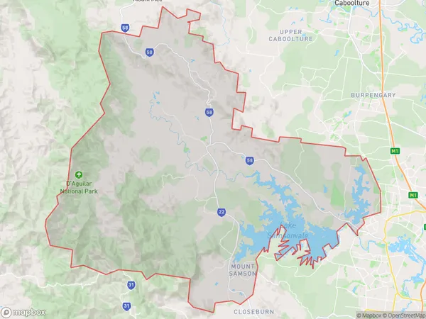
ZipCode 4521 Areas Map for Woodford - D'Aguilar

AU PostCode 4521 Suburbs Map for Dayboro
AU PostCode 4521 Suburbs
AU PostCode 4521 suburbs contain Campbells Pocket, Dayboro, King Scrub, Laceys Creek, Mount Mee, Mount Pleasant, Ocean View, Rush Creek, you can check the below link to see the 8 suburbs detailed information.
AU PostCode 4521 Suburbs Map
ZipCode 4521 Areas
1. Campbells Pocket
2. Dayboro
3. King Scrub
4. Laceys Creek
5. Mount Mee
6. Mount Pleasant
7. Ocean View
8. Rush Creek