Grovely Area, Grovely Postcode(4054) & Map in Grovely, Brisbane - West, QLD
Grovely Area, Grovely Postcode(4054) & Map in Grovely, Brisbane - West, QLD, AU, Postcode: 4054
Grovely, Keperra, The Gap - Enoggera, Brisbane - West, Queensland, Australia, 4054
Grovely Postcode
Area Name
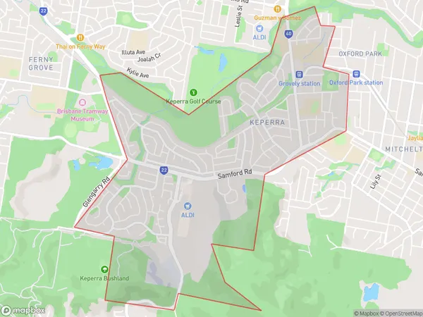
GrovelyGrovely Suburb Area Map (Polygon)

Grovely Introduction
Grovely is a suburb in the Western Suburbs of Brisbane, Queensland, Australia. It is located 8 kilometers west of the Brisbane CBD and is part of the City of Brisbane local government area. Grovely has a population of around 4,000 people and is known for its historic homes and leafy streets. The suburb has a variety of shops, cafes, and restaurants, as well as a community center and a primary school.State Name
City or Big Region
District or Regional Area
Suburb Name
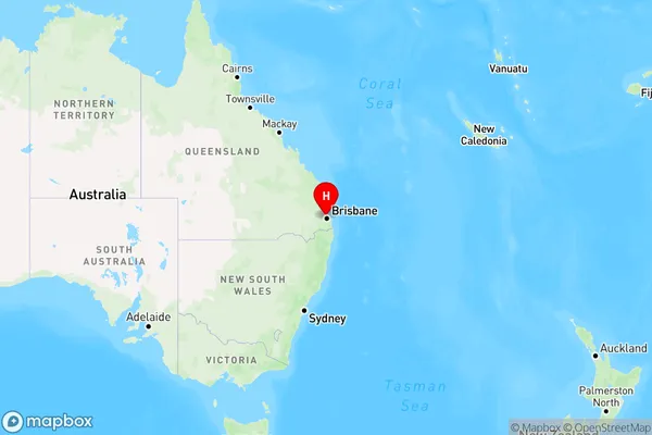
Grovely Region Map

Country
Main Region in AU
R1Coordinates
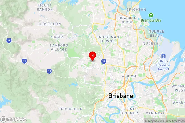
-27.4008,152.961 (latitude/longitude)Grovely Area Map (Street)

Longitude
152.956014Latitude
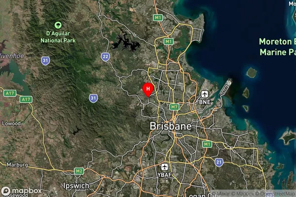
-27.409817Grovely Suburb Map (Satellite)

Distances
The distance from Grovely, Brisbane - West, QLD to AU Greater Capital CitiesSA1 Code 2011
30404110009SA1 Code 2016
30404110009SA2 Code
304041100SA3 Code
30404SA4 Code
304RA 2011
1RA 2016
1MMM 2015
1MMM 2019
1Charge Zone
Q1LGA Region
BrisbaneLGA Code
31000Electorate
Ryan